Transport Functions
Rail
Road
Hub Profile
Place type
District seat
Region
Styria
Population
698
Time zone
Europe/Vienna
Elevation
258 m
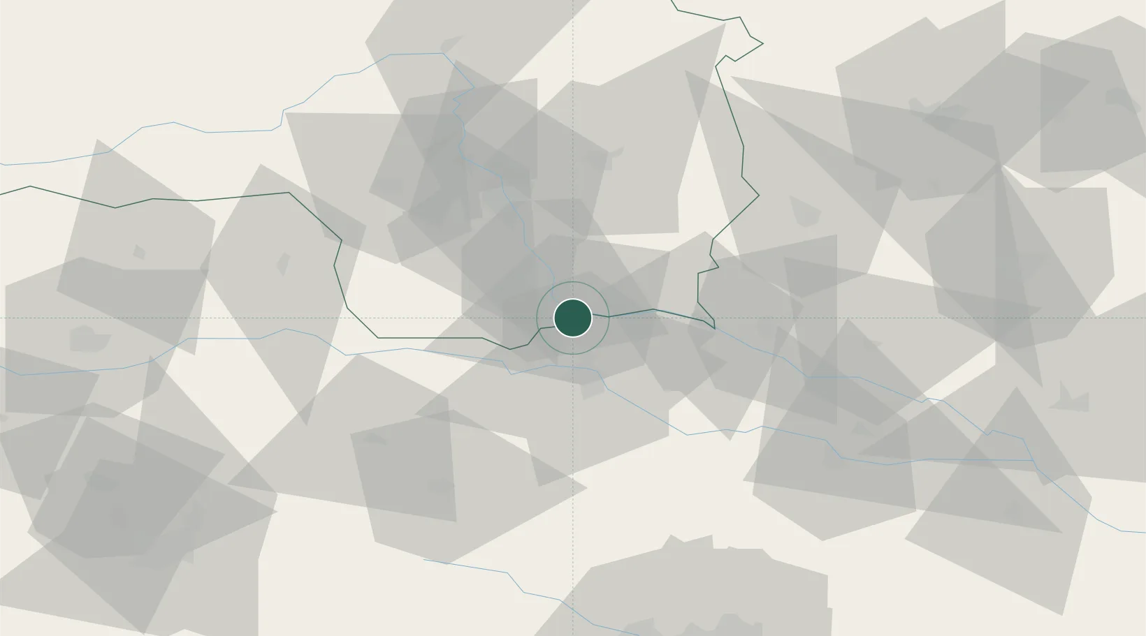
Location
Nearby Logistics Neighbours
Cities
- 1Cersak3 km
- 2Gamlitz7 km
- 3Zgornja Kungota8 km
- 4Wagna8 km
- 5Zgornja Velka11 km
Ports
- 1Bakar177 km
- 2Rijeka Luka178 km
- 3Omisalj185 km
- 4Trieste186 km
- 5Muggia189 km
Airports
- 1Maribor Edvard Rusjan Airport25 km
- 2Graz Airport36 km
- 3Hinterstoisser Air Base88 km
- 4Cerklje ob Krki Air Base89 km
- 5Klagenfurt Airport99 km
Trade Zones
- 1Krapina-Zagorje Free Zone64 km
- 2Sjever Free Zone71 km
- 3PJ Free Zone Zagreb102 km
- 4Free Zone Kukuljanovo175 km
- 5Free Port of Trieste186 km
DatabookThe Record of Consolidated Knowledge
Austria beyond logistics?