UN/LOCODE hub · Slovenia
SIBIS
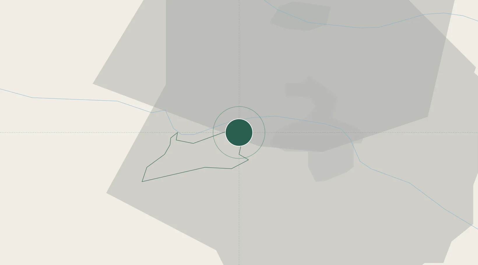
Bistrica ob Dravi
46.5500°, 15.5500°
1,368
Population
1
Transport functions
Transport Functions
Multimodal
Hub Profile
Place type
Populated place
Region
Ruše Municipality
Population
1,368
Time zone
Europe/Ljubljana
Elevation
298 m
Location
Nearby Logistics Neighbours
Cities
- 1Ruse4 km
- 2Zgornja Kungota10 km
- 3Leutschach15 km
- 4Zgornja Polskava15 km
- 5Zgornja Korena16 km
Ports
- 1Bakar160 km
- 2Rijeka Luka161 km
- 3Omisalj167 km
- 4Trieste171 km
- 5Muggia173 km
Airports
- 1Maribor Edvard Rusjan Airport13 km
- 2Graz Airport50 km
- 3Cerklje ob Krki Air Base72 km
- 4Ljubljana Jože Pučnik Airport91 km
- 5Klagenfurt Airport93 km
Trade Zones
- 1Krapina-Zagorje Free Zone51 km
- 2Sjever Free Zone67 km
- 3PJ Free Zone Zagreb87 km
- 4Free Zone Kukuljanovo157 km
- 5Free Port of Trieste171 km
DatabookThe Record of Consolidated Knowledge
Slovenia beyond logistics?