Transport Functions
Port
Multimodal
Hub Profile
Place type
District seat
Region
Styria
Population
557
Time zone
Europe/Vienna
Elevation
351 m
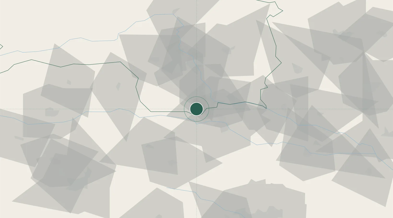
Location
Nearby Logistics Neighbours
Cities
- 1Gamlitz8 km
- 2Zgornja Kungota11 km
- 3Wagna11 km
- 4Gleinstätten12 km
- 5Spielfeld13 km
Ports
- 1Bakar168 km
- 2Rijeka Luka168 km
- 3Trieste174 km
- 4Omisalj176 km
- 5Muggia177 km
Airports
- 1Maribor Edvard Rusjan Airport27 km
- 2Graz Airport36 km
- 3Hinterstoisser Air Base81 km
- 4Cerklje ob Krki Air Base85 km
- 5Klagenfurt Airport86 km
Trade Zones
- 1Krapina-Zagorje Free Zone65 km
- 2Sjever Free Zone79 km
- 3PJ Free Zone Zagreb102 km
- 4Free Zone Kukuljanovo165 km
- 5Free Port of Trieste174 km
DatabookThe Record of Consolidated Knowledge
Austria beyond logistics?