Export Processing Zone · Croatia
Free Zone Kukuljanovo Inactive
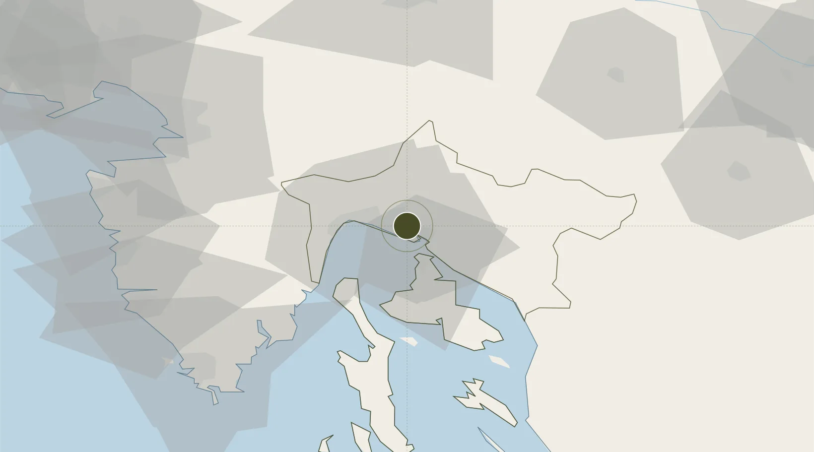
45.3357°, 14.5116°
100 ha
Zone area
4.3 km
Nearest port
14.1 km
Nearest airport
Gateway access
Zone profile
Zone type
Export Processing Zone
Region
Primorsko-Goranska
Status
Inactive
Management
Public-Private Partnership
Operator
Industrijska Zona Bakar D.O.O.
Legal framework
Free Zones Act (Official Gazette 44/96, 92/05, 85/08), Regulation (EU) No 952/2013 of the European Parliament and of the Council of 9 October 2013 laying down the Union Customs Code (recast)
Location
Nearby Logistics Neighbours
Ports
- 1Bakar4 km
- 2Rijeka Luka6 km
- 3Omisalj14 km
- 4Zaliv Rasa47 km
- 5Senj50 km
Airports
- 1Rijeka Airport14 km
- 2Pula Airport68 km
- 3Portorož Airport72 km
- 4Trieste Airport98 km
- 5Ljubljana Jože Pučnik Airport99 km
Trade Zones
- 1Port of Rijeka Free Zone25 km
- 2Free Port of Trieste69 km
- 3Port of Pula Free Zone75 km
- 4PJ Free Zone Zagreb118 km
- 5Krapina-Zagorje Free Zone139 km
DatabookThe Record of Consolidated Knowledge
Croatia beyond logistics?