Transport Functions
Multimodal
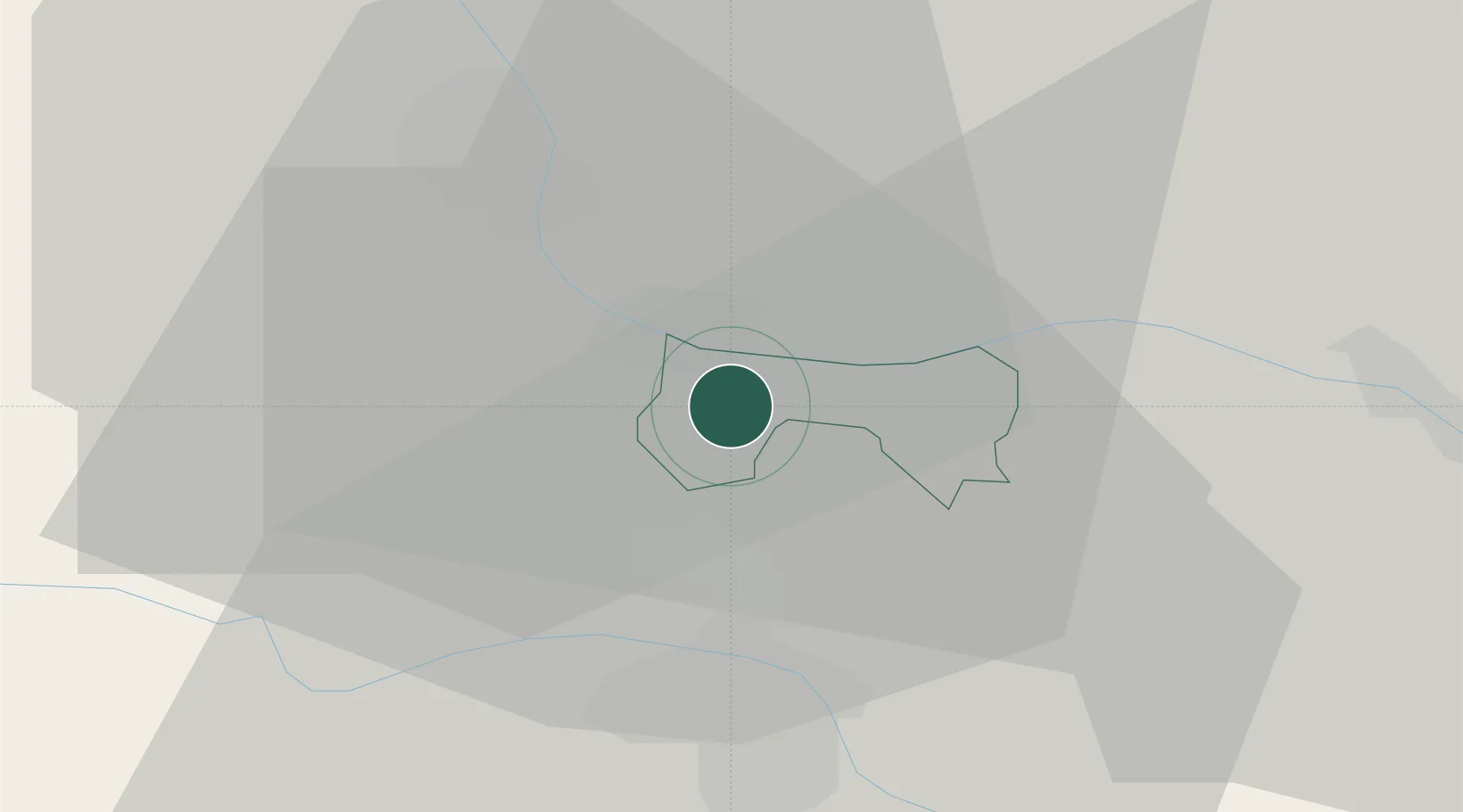
Hub Profile
Place type
Populated place
Region
Šentilj
Population
708
Time zone
Europe/Ljubljana
Elevation
312 m
Location
Nearby Logistics Neighbours
Cities
- 1Spielfeld3 km
- 2Zgornja Kungota8 km
- 3Zgornja Velka8 km
- 4Zgornji Jakobski Dol8 km
- 5Gamlitz10 km
Ports
- 1Bakar177 km
- 2Rijeka Luka178 km
- 3Omisalj185 km
- 4Trieste187 km
- 5Muggia190 km
Airports
- 1Maribor Edvard Rusjan Airport23 km
- 2Graz Airport38 km
- 3Cerklje ob Krki Air Base88 km
- 4Hinterstoisser Air Base91 km
- 5Klagenfurt Airport102 km
Trade Zones
- 1Krapina-Zagorje Free Zone61 km
- 2Sjever Free Zone68 km
- 3PJ Free Zone Zagreb100 km
- 4Free Zone Kukuljanovo174 km
- 5Free Port of Trieste187 km
DatabookThe Record of Consolidated Knowledge
Slovenia beyond logistics?