Medium airport · Slovenia
Cerklje ob Krki Air BaseLJCE
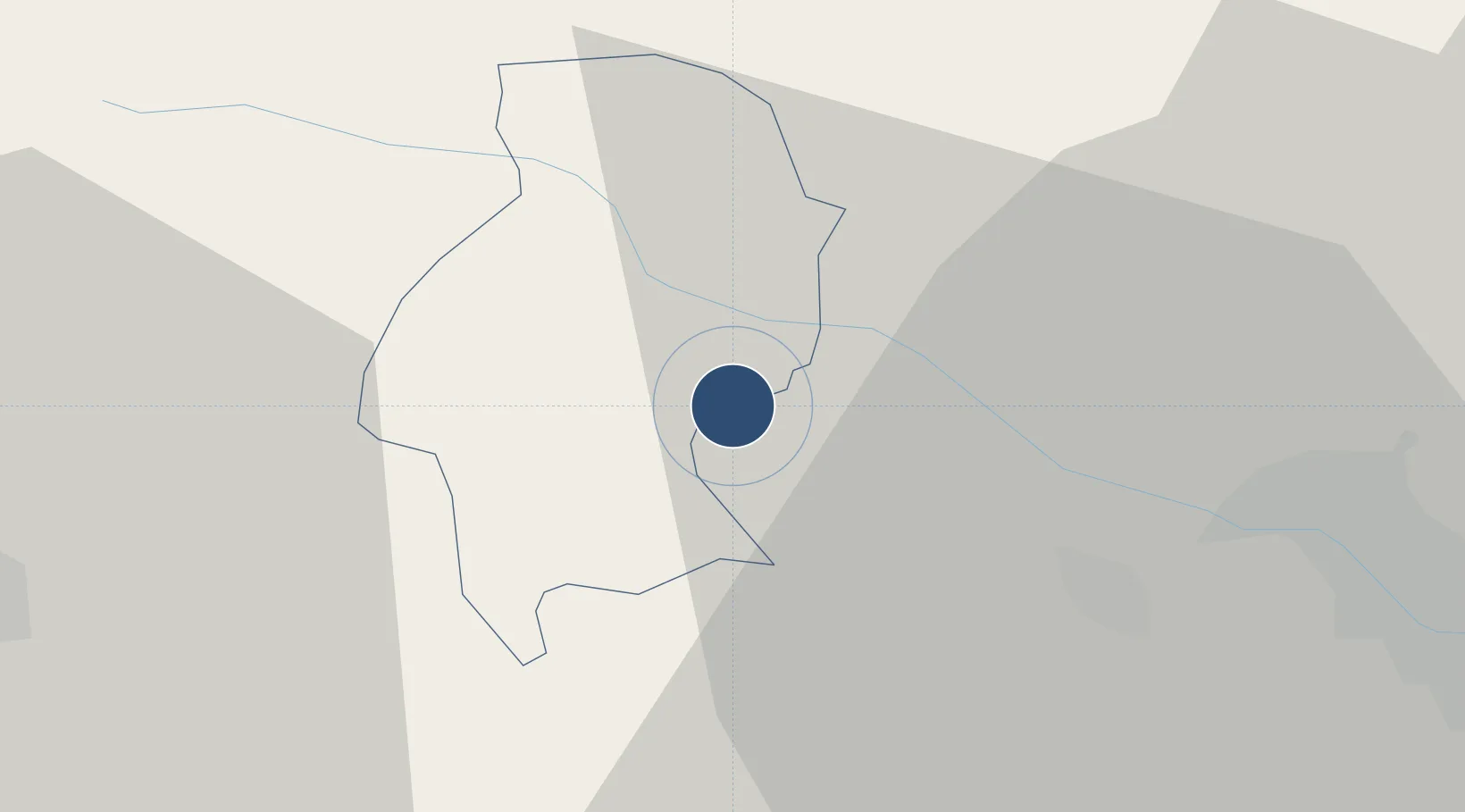
45.9000°, 15.5302°
9,843 ft
Longest runway
1
Runways
510 ft
Elevation
Runway & Layout

Runways · 1
| Runway | Dimensions | Surface | True heading | Lit |
|---|---|---|---|---|
| 09/27 | 9,843 × 148ft | Asphalt | 089° | — |
Airport Specifications
ICAO code
LJCE
Airport class
Medium airport
Scheduled service
No
Runway surface
Asphalt
Served city
Cerklje ob Krki
Location
Nearby Logistics Neighbours
Airports
- 1Zagreb Franjo Tuđman International Airport45 km
- 2Maribor Edvard Rusjan Airport66 km
- 3Ljubljana Jože Pučnik Airport90 km
- 4Rijeka Airport107 km
- 5Graz Airport122 km
Cities
- 1Brezice4 km
- 2Krsko7 km
- 3Zdole7 km
- 4Dobova11 km
- 5Zabukovje nad Sevnico21 km
Ports
- 1Bakar102 km
- 2Rijeka Luka106 km
- 3Omisalj108 km
- 4Senj113 km
- 5Muggia141 km
Trade Zones
- 1PJ Free Zone Zagreb29 km
- 2Krapina-Zagorje Free Zone39 km
- 3Sjever Free Zone76 km
- 4Free Zone Kukuljanovo101 km
- 5Port of Rijeka Free Zone126 km
DatabookThe Record of Consolidated Knowledge
Slovenia beyond logistics?