Transport Functions
Port
Road
Hub Profile
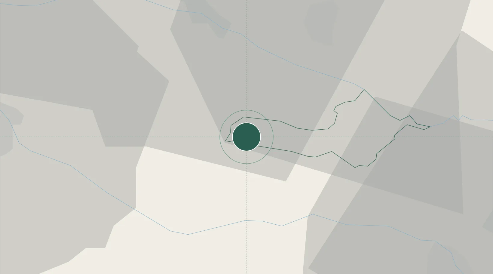
Place type
Populated place
Region
Ljutomer
Population
100
Time zone
Europe/Ljubljana
Elevation
210 m
Location
Nearby Logistics Neighbours
Cities
- 1Ivanjkovci10 km
- 2Zavrc15 km
- 3Ormoz16 km
- 4Ptuj18 km
- 5Eggenburg22 km
Ports
- 1Bakar179 km
- 2Rijeka Luka182 km
- 3Omisalj185 km
- 4Senj192 km
- 5Trieste202 km
Airports
Trade Zones
- 1Sjever Free Zone34 km
- 2Krapina-Zagorje Free Zone43 km
- 3PJ Free Zone Zagreb81 km
- 4Free Zone Kukuljanovo177 km
- 5Port of Rijeka Free Zone202 km
DatabookThe Record of Consolidated Knowledge
Slovenia beyond logistics?