Transport Functions
Rail
Road
Hub Profile
Place type
Regional capital
Region
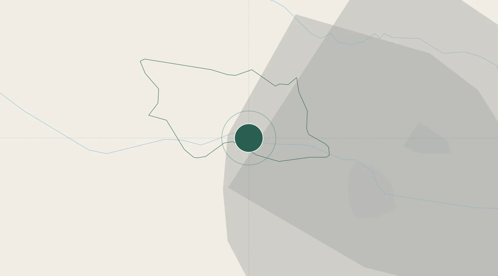
Ormož
Population
2,174
Time zone
Europe/Ljubljana
Elevation
228 m
Location
Nearby Logistics Neighbours
Cities
- 1Ivanjkovci8 km
- 2Zavrc10 km
- 3Macinec12 km
- 4Mala Nedelja16 km
- 5Varazdin17 km
Ports
- 1Bakar176 km
- 2Rijeka Luka179 km
- 3Omisalj182 km
- 4Senj186 km
- 5Trieste205 km
Airports
Trade Zones
- 1Sjever Free Zone18 km
- 2Krapina-Zagorje Free Zone36 km
- 3PJ Free Zone Zagreb70 km
- 4Free Zone Kukuljanovo174 km
- 5Duro Daković Free Zone198 km
DatabookThe Record of Consolidated Knowledge
Slovenia beyond logistics?