Export Processing Zone · Croatia
Port of Rijeka Free Zone Active
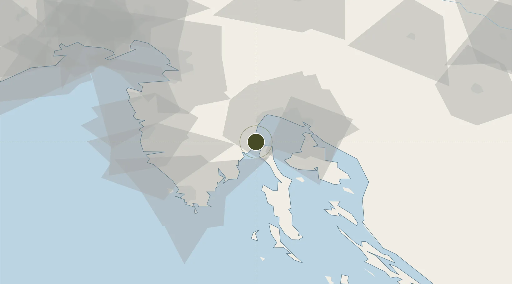
45.1938°, 14.2610°
64 ha
Zone area
20.6 km
Nearest port
24.4 km
Nearest airport
Gateway access
Zone profile
Zone type
Export Processing Zone
Region
Primorsko-Goranska
Status
Active
Management
Public
Operator
Lucka Uprava Rijeka
Legal framework
Free Zones Act (Official Gazette 44/96, 92/05, 85/08), Regulation (EU) No 952/2013 of the European Parliament and of the Council of 9 October 2013 laying down the Union Customs Code (recast)
Location
Nearby Logistics Neighbours
Ports
- 1Rijeka Luka21 km
- 2Zaliv Rasa22 km
- 3Omisalj23 km
- 4Bakar24 km
- 5Pula50 km
Airports
- 1Rijeka Airport24 km
- 2Pula Airport43 km
- 3Portorož Airport59 km
- 4Trieste Airport94 km
- 5Ljubljana Jože Pučnik Airport116 km
Cities
- 1Moscenicka Draga5 km
- 2Plomin10 km
- 3Porozina12 km
- 4Rabac14 km
- 5Opatija16 km
Trade Zones
- 1Free Zone Kukuljanovo25 km
- 2Port of Pula Free Zone50 km
- 3Free Port of Trieste64 km
- 4PJ Free Zone Zagreb143 km
- 5Free Port of Venice155 km
DatabookThe Record of Consolidated Knowledge
Croatia beyond logistics?