Transport Functions
Rail
Road
Hub Profile
Place type
Regional capital
Region
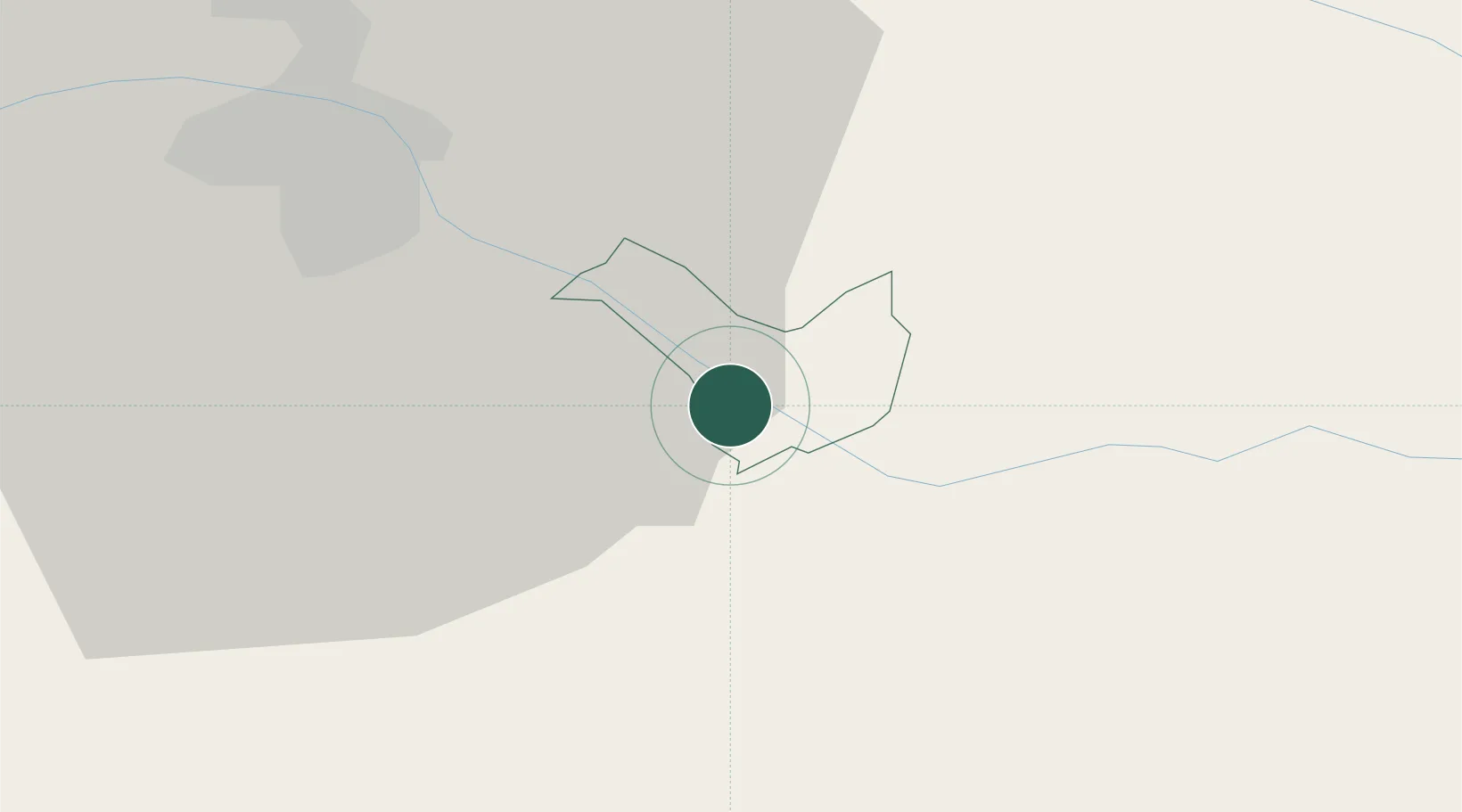
Ptuj
Population
17,984
Time zone
Europe/Ljubljana
Elevation
237 m
Location
Nearby Logistics Neighbours
Cities
- 1Kidricevo7 km
- 2Zgornji Leskovec12 km
- 3Zavrc13 km
- 4Zgornja Korena14 km
- 5Zetale18 km
Ports
- 1Bakar162 km
- 2Rijeka Luka164 km
- 3Omisalj168 km
- 4Senj176 km
- 5Trieste185 km
Airports
Trade Zones
- 1Krapina-Zagorje Free Zone30 km
- 2Sjever Free Zone39 km
- 3PJ Free Zone Zagreb69 km
- 4Free Zone Kukuljanovo160 km
- 5Free Port of Trieste184 km
DatabookThe Record of Consolidated Knowledge
Slovenia beyond logistics?