Transport Functions
Rail
Road
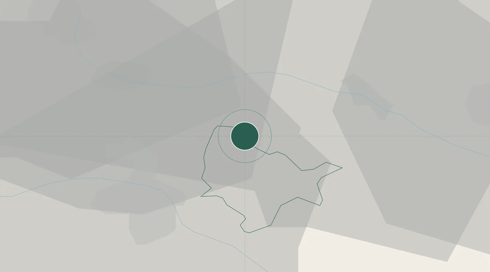
Hub Profile
Place type
District seat
Region
Lower Austria
Population
3,096
Time zone
Europe/Vienna
Elevation
339 m
Location
Nearby Logistics Neighbours
Cities
- 1Zgornji Jakobski Dol5 km
- 2Zgornja Velka5 km
- 3Eibiswald6 km
- 4Gosdorf11 km
- 5Cersak13 km
Ports
- 1Bakar178 km
- 2Rijeka Luka180 km
- 3Omisalj186 km
- 4Trieste193 km
- 5Muggia195 km
Airports
- 1Maribor Edvard Rusjan Airport20 km
- 2Graz Airport49 km
- 3Cerklje ob Krki Air Base85 km
- 4Zagreb Franjo Tuđman International Airport101 km
- 5Hévíz–Balaton Airport103 km
Trade Zones
- 1Krapina-Zagorje Free Zone54 km
- 2Sjever Free Zone55 km
- 3PJ Free Zone Zagreb93 km
- 4Free Zone Kukuljanovo176 km
- 5Free Port of Trieste193 km
DatabookThe Record of Consolidated Knowledge
Austria beyond logistics?