Transport Functions
Port
Multimodal
Hub Profile
Place type
Regional capital
Region
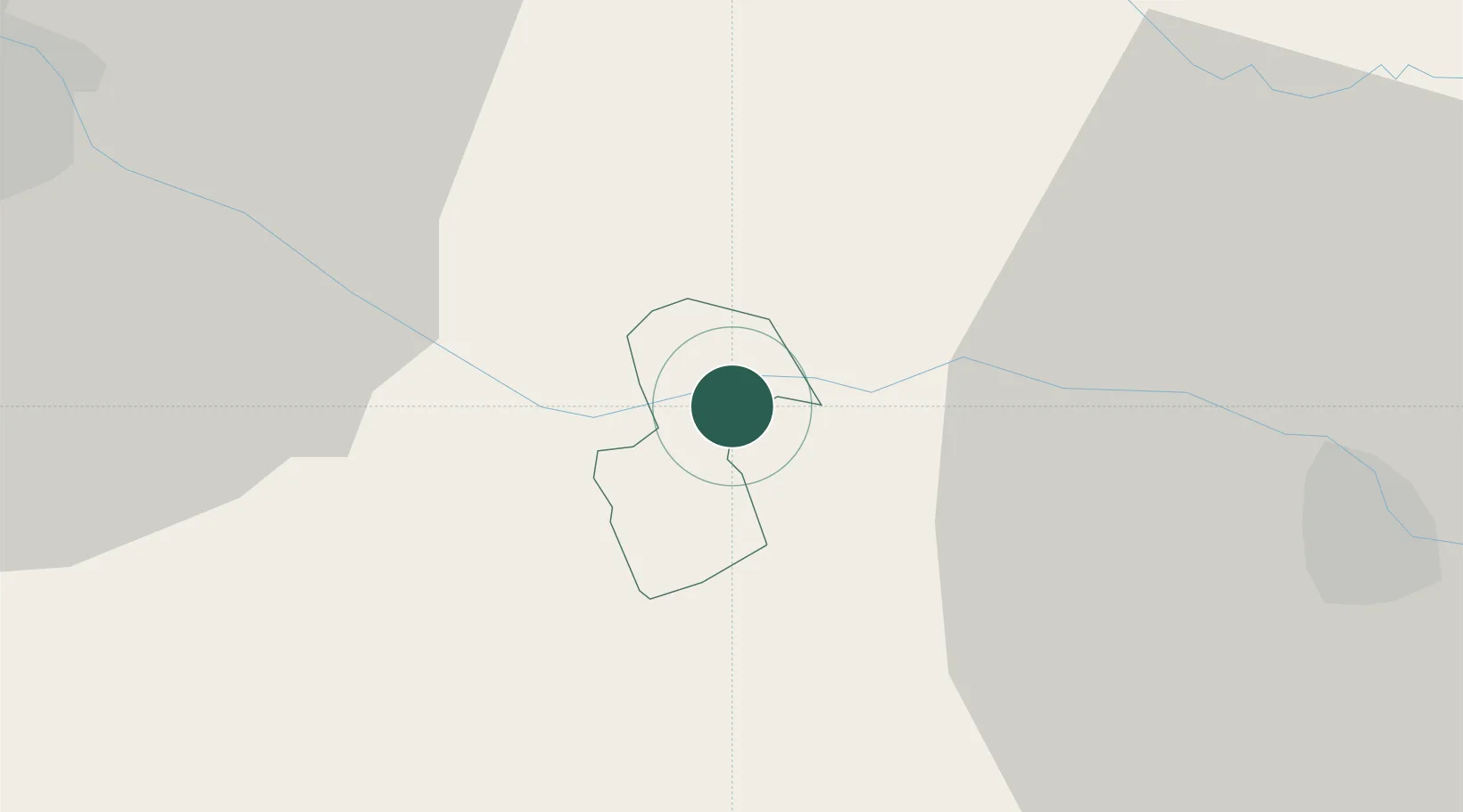
Zavrč
Population
73
Time zone
Europe/Ljubljana
Elevation
161 m
Location
Nearby Logistics Neighbours
Cities
- 1Ormoz10 km
- 2Zgornji Leskovec11 km
- 3Ivanjkovci13 km
- 4Ptuj13 km
- 5Mala Nedelja15 km
Ports
- 1Bakar167 km
- 2Rijeka Luka170 km
- 3Omisalj173 km
- 4Senj179 km
- 5Trieste195 km
Airports
Trade Zones
- 1Sjever Free Zone26 km
- 2Krapina-Zagorje Free Zone29 km
- 3PJ Free Zone Zagreb66 km
- 4Free Zone Kukuljanovo166 km
- 5Port of Rijeka Free Zone191 km
DatabookThe Record of Consolidated Knowledge
Slovenia beyond logistics?