Transport Functions
Multimodal
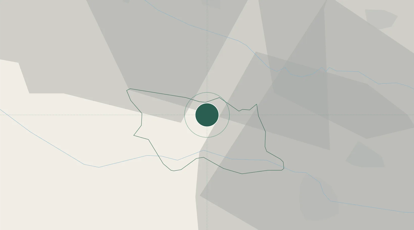
Hub Profile
Place type
Populated place
Region
Ormož
Population
251
Time zone
Europe/Ljubljana
Elevation
305 m
Location
Nearby Logistics Neighbours
Cities
- 1Ormoz8 km
- 2Mala Nedelja10 km
- 3Zavrc13 km
- 4Macinec16 km
- 5Nedelise21 km
Ports
- 1Bakar180 km
- 2Rijeka Luka183 km
- 3Omisalj186 km
- 4Senj191 km
- 5Trieste207 km
Airports
Trade Zones
- 1Sjever Free Zone25 km
- 2Krapina-Zagorje Free Zone41 km
- 3PJ Free Zone Zagreb77 km
- 4Free Zone Kukuljanovo179 km
- 5Port of Rijeka Free Zone204 km
DatabookThe Record of Consolidated Knowledge
Slovenia beyond logistics?