Transport Functions
Port
Multimodal
Hub Profile
Place type
Regional capital
Region
Rogašovci
Population
254
Time zone
Europe/Ljubljana
Elevation
260 m
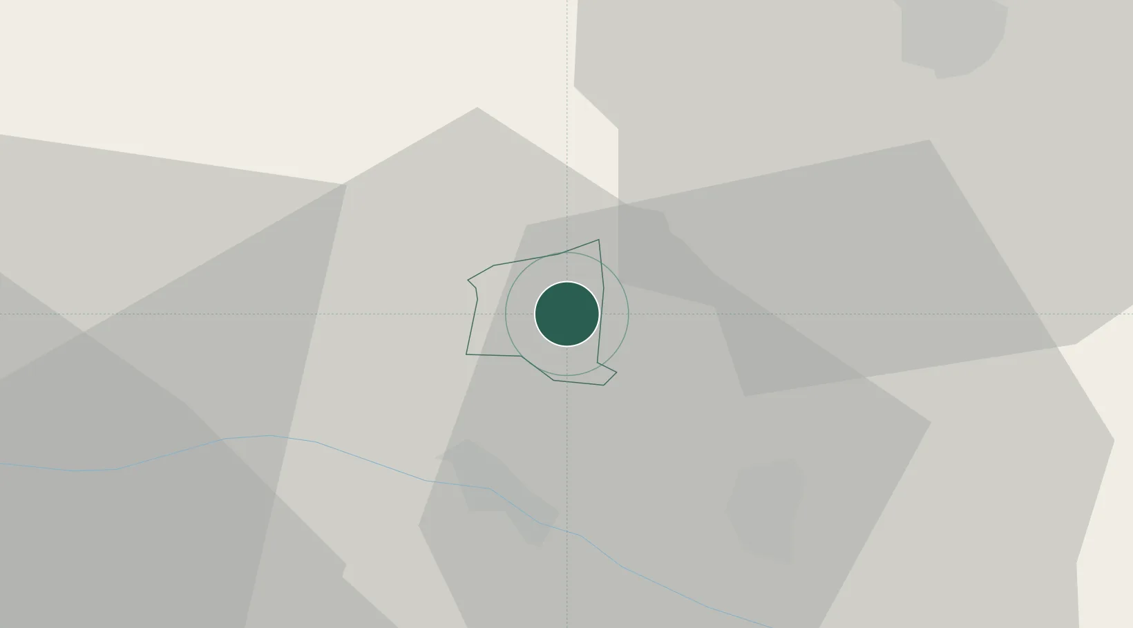
Location
Nearby Logistics Neighbours
Cities
- 1Straden13 km
- 2Fehring15 km
- 3Jennersdorf15 km
- 4Eibiswald20 km
- 5Feldbach20 km
Ports
- 1Bakar203 km
- 2Rijeka Luka205 km
- 3Omisalj210 km
- 4Trieste217 km
- 5Muggia220 km
Airports
- 1Maribor Edvard Rusjan Airport44 km
- 2Graz Airport50 km
- 3Hévíz–Balaton Airport87 km
- 4Cerklje ob Krki Air Base107 km
- 5Hinterstoisser Air Base108 km
Trade Zones
- 1Sjever Free Zone61 km
- 2Krapina-Zagorje Free Zone73 km
- 3PJ Free Zone Zagreb112 km
- 4Free Zone Kukuljanovo201 km
- 5Port of Rijeka Free Zone225 km
DatabookThe Record of Consolidated Knowledge
Slovenia beyond logistics?