Transport Functions
Rail
Road
Hub Profile
Place type
Provincial seat
Region
Burgenland
Population
2,358
Time zone
Europe/Vienna
Elevation
242 m
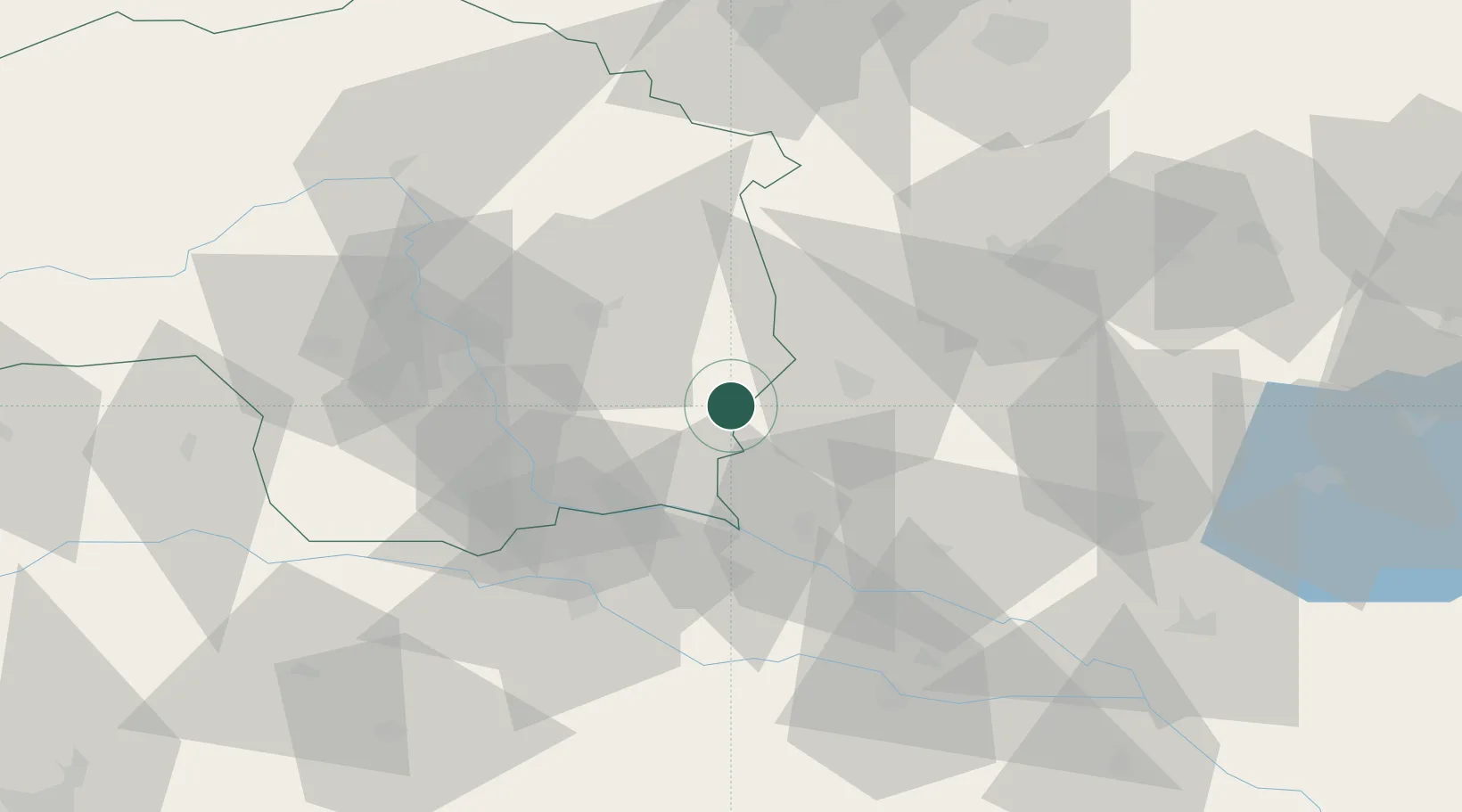
Location
Nearby Logistics Neighbours
Cities
- 1Fehring0 km
- 2Oberlamm7 km
- 3Feldbach9 km
- 4Fürstenfeld14 km
- 5Rogasovci15 km
Ports
- 1Bakar214 km
- 2Rijeka Luka215 km
- 3Omisalj221 km
- 4Trieste224 km
- 5Muggia227 km
Airports
- 1Graz Airport43 km
- 2Maribor Edvard Rusjan Airport56 km
- 3Hévíz–Balaton Airport92 km
- 4Hinterstoisser Air Base100 km
- 5Wiener Neustadt West Airport102 km
Trade Zones
- 1Sjever Free Zone76 km
- 2Krapina-Zagorje Free Zone88 km
- 3PJ Free Zone Zagreb127 km
- 4Free Zone Kukuljanovo211 km
- 5Port of Rijeka Free Zone235 km
DatabookThe Record of Consolidated Knowledge
Austria beyond logistics?