Transport Functions
Port
Multimodal
Hub Profile
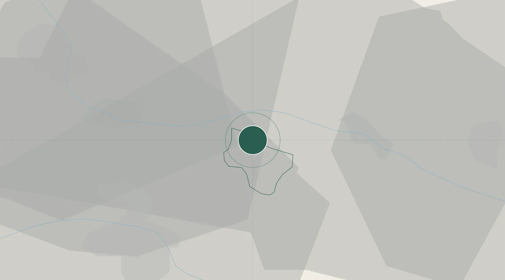
Place type
District seat
Region
Styria
Population
1,423
Time zone
Europe/Vienna
Elevation
371 m
Location
Nearby Logistics Neighbours
Cities
- 1Zgornja Velka5 km
- 2Eggenburg6 km
- 3Gosdorf7 km
- 4Zgornji Jakobski Dol8 km
- 5Cersak13 km
Ports
- 1Bakar184 km
- 2Rijeka Luka185 km
- 3Omisalj191 km
- 4Trieste198 km
- 5Muggia200 km
Airports
- 1Maribor Edvard Rusjan Airport25 km
- 2Graz Airport46 km
- 3Cerklje ob Krki Air Base90 km
- 4Hinterstoisser Air Base101 km
- 5Hévíz–Balaton Airport101 km
Trade Zones
- 1Sjever Free Zone59 km
- 2Krapina-Zagorje Free Zone59 km
- 3PJ Free Zone Zagreb98 km
- 4Free Zone Kukuljanovo181 km
- 5Free Port of Trieste197 km
DatabookThe Record of Consolidated Knowledge
Austria beyond logistics?