Transport Functions
Rail
Road
Hub Profile
Place type
District seat
Region
Styria
Population
4,829
Time zone
Europe/Vienna
Elevation
283 m
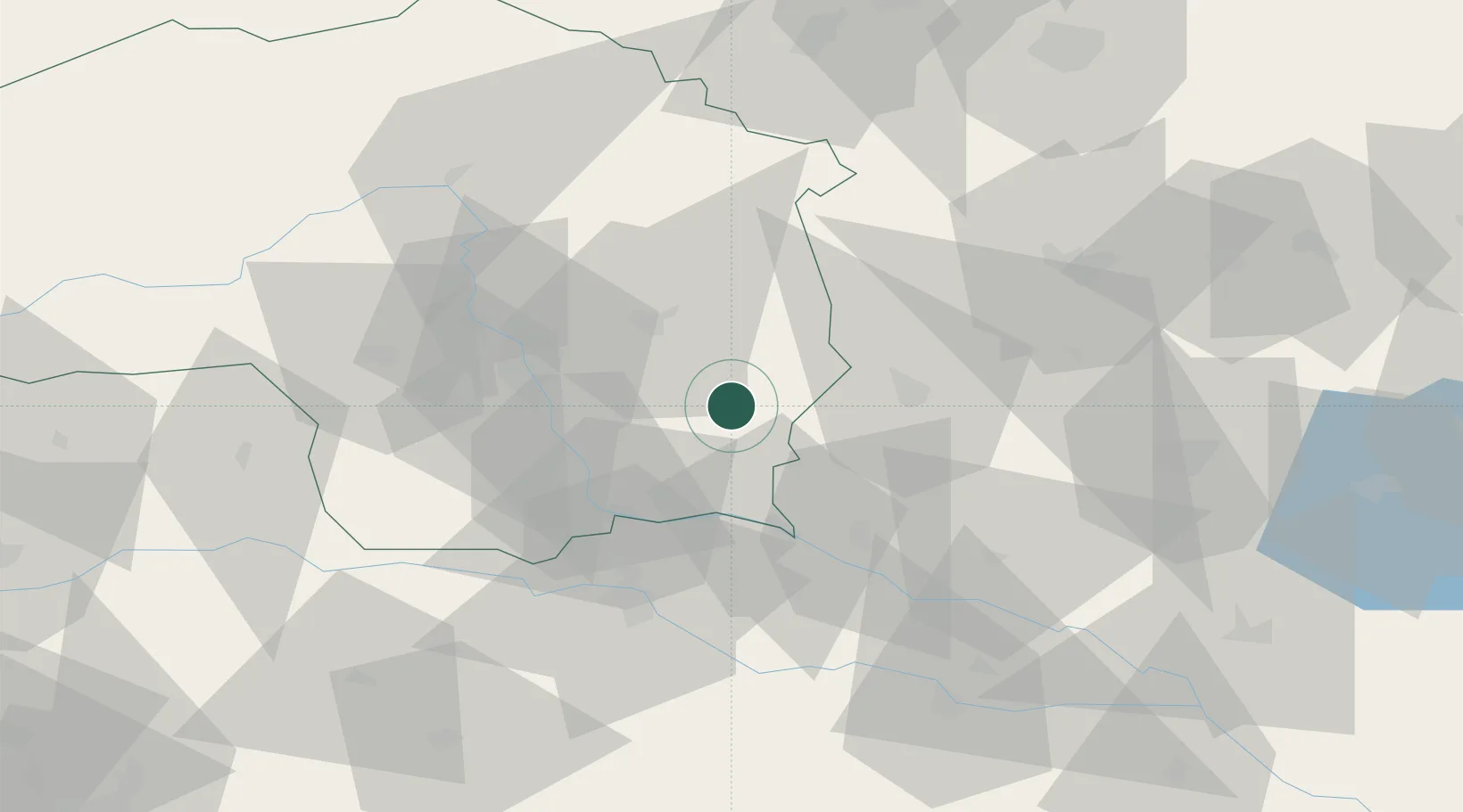
Location
Nearby Logistics Neighbours
Cities
- 1Fehring9 km
- 2Jennersdorf9 km
- 3Kirchberg an der Raab10 km
- 4Oberlamm13 km
- 5Sankt Margarethen an der Raab15 km
Ports
- 1Bakar211 km
- 2Rijeka Luka212 km
- 3Omisalj218 km
- 4Trieste219 km
- 5Monfalcone221 km
Airports
- 1Graz Airport34 km
- 2Maribor Edvard Rusjan Airport54 km
- 3Hinterstoisser Air Base91 km
- 4Hévíz–Balaton Airport101 km
- 5Wiener Neustadt West Airport102 km
Trade Zones
- 1Sjever Free Zone81 km
- 2Krapina-Zagorje Free Zone89 km
- 3PJ Free Zone Zagreb128 km
- 4Free Zone Kukuljanovo208 km
- 5Free Port of Trieste219 km
DatabookThe Record of Consolidated Knowledge
Austria beyond logistics?