UN/LOCODE hub · Austria
ATST6

Straden

46.8000°, 15.8667°
283
Population
2
Transport functions

Transport Functions

Port
Multimodal
UN/LOCODE

Hub Profile

Place type
District seat
GeoNames
Region
Styria
GeoNames
Population
283
GeoNames
Time zone
Europe/Vienna
GeoNames
Elevation
336 m
GeoNames

Location

Location of ATST6
Natural Earth 10m (public domain) · Styria · ATST6 · 46.80, 15.87GoogleOSMYandex

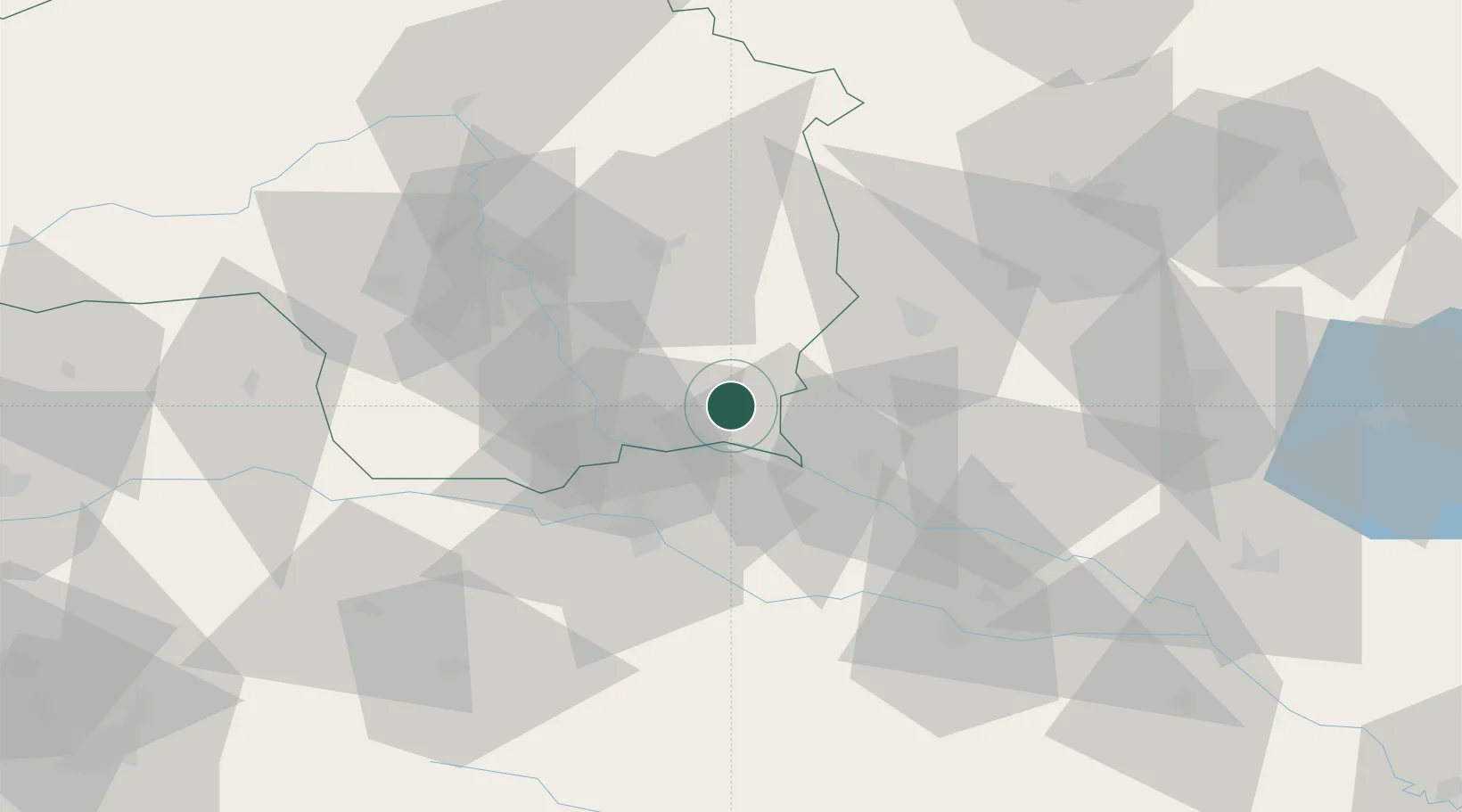
Nearby Logistics Neighbours

Cities
  1. 1Gosdorf10 km
  2. 2Rogasovci13 km
  3. 3Eibiswald13 km
  4. 4Zgornja Velka17 km
  5. 5Feldbach17 km
Nearest neighbours — logibook spatial index (haversine) over the source coordinates
Ports
  1. 1Bakar196 km
  2. 2Rijeka Luka197 km
  3. 3Omisalj203 km
  4. 4Trieste207 km
  5. 5Muggia210 km
Nearest neighbours — logibook spatial index (haversine) over the source coordinates
Airports
  1. 1Maribor Edvard Rusjan Airport38 km
  2. 2Graz Airport39 km
  3. 3Hinterstoisser Air Base96 km
  4. 4Hévíz–Balaton Airport99 km
  5. 5Cerklje ob Krki Air Base103 km
Nearest neighbours — logibook spatial index (haversine) over the source coordinates
Trade Zones
  1. 1Sjever Free Zone67 km
  2. 2Krapina-Zagorje Free Zone72 km
  3. 3PJ Free Zone Zagreb111 km
  4. 4Free Zone Kukuljanovo194 km
  5. 5Free Port of Trieste207 km
Nearest neighbours — logibook spatial index (haversine) over the source coordinates
DatabookThe Record of Consolidated Knowledge
Austria beyond logistics?
Browse databook

All Sources

LocationsUN/LOCODE
UN/LOCODE — free
LocationsGeoNames
CC BY 4.0
Portsthe NGA World Port Index
Public domain (US gov)
AirportsOurAirports
Public domain
Trade Zonesthe World Bank SEZ database
CC BY 4.0
Trade ZonesOpen Zone Map
CC BY
← Austria locations