UN/LOCODE hub · Croatia
HRMCC

Macinec

46.3833°, 16.3167°
484
Population
2
Transport functions

Transport Functions

Rail
Road
UN/LOCODE

Hub Profile

Place type
Populated place
GeoNames
Region
Međimurje
GeoNames
Population
484
GeoNames
Time zone
Europe/Zagreb
GeoNames
Elevation
175 m
GeoNames

Location

Location of HRMCC
Natural Earth 10m (public domain) · Međimurje · HRMCC · 46.38, 16.32GoogleOSMYandex

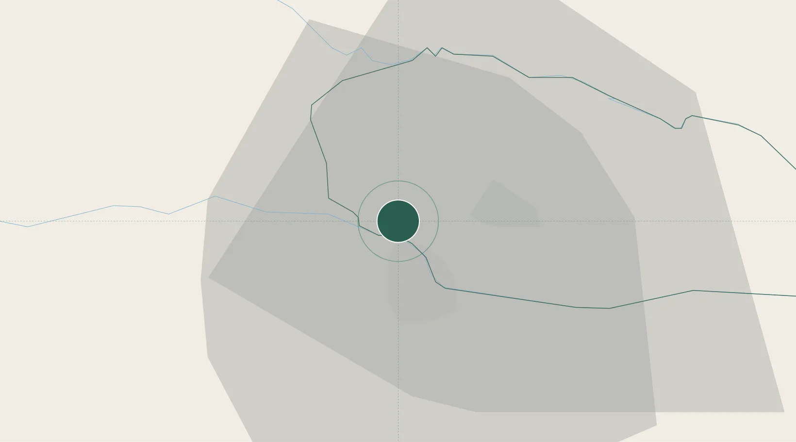
Nearby Logistics Neighbours

Cities
  1. 1Nedelise5 km
  2. 2Cakovec9 km
  3. 3Varazdin9 km
  4. 4Ormoz12 km
  5. 5Trnovec Bartolovecki12 km
Nearest neighbours — logibook spatial index (haversine) over the source coordinates
Ports
  1. 1Bakar183 km
  2. 2Rijeka Luka187 km
  3. 3Omisalj189 km
  4. 4Senj191 km
  5. 5Trieste215 km
Nearest neighbours — logibook spatial index (haversine) over the source coordinates
Airports
  1. 1Maribor Edvard Rusjan Airport50 km
  2. 2Hévíz–Balaton Airport73 km
  3. 3Zagreb Franjo Tuđman International Airport74 km
  4. 4Cerklje ob Krki Air Base81 km
  5. 5Graz Airport95 km
Nearest neighbours — logibook spatial index (haversine) over the source coordinates
Trade Zones
  1. 1Sjever Free Zone11 km
  2. 2Krapina-Zagorje Free Zone43 km
  3. 3PJ Free Zone Zagreb73 km
  4. 4Free Zone Kukuljanovo182 km
  5. 5Duro Daković Free Zone188 km
Nearest neighbours — logibook spatial index (haversine) over the source coordinates
DatabookThe Record of Consolidated Knowledge
Croatia beyond logistics?
Browse databook

All Sources

LocationsUN/LOCODE
UN/LOCODE — free
LocationsGeoNames
CC BY 4.0
Portsthe NGA World Port Index
Public domain (US gov)
AirportsOurAirports
Public domain
Trade Zonesthe World Bank SEZ database
CC BY 4.0
Trade ZonesOpen Zone Map
CC BY
← Croatia locations