Transport Functions
Rail
Road
Hub Profile
Region
20
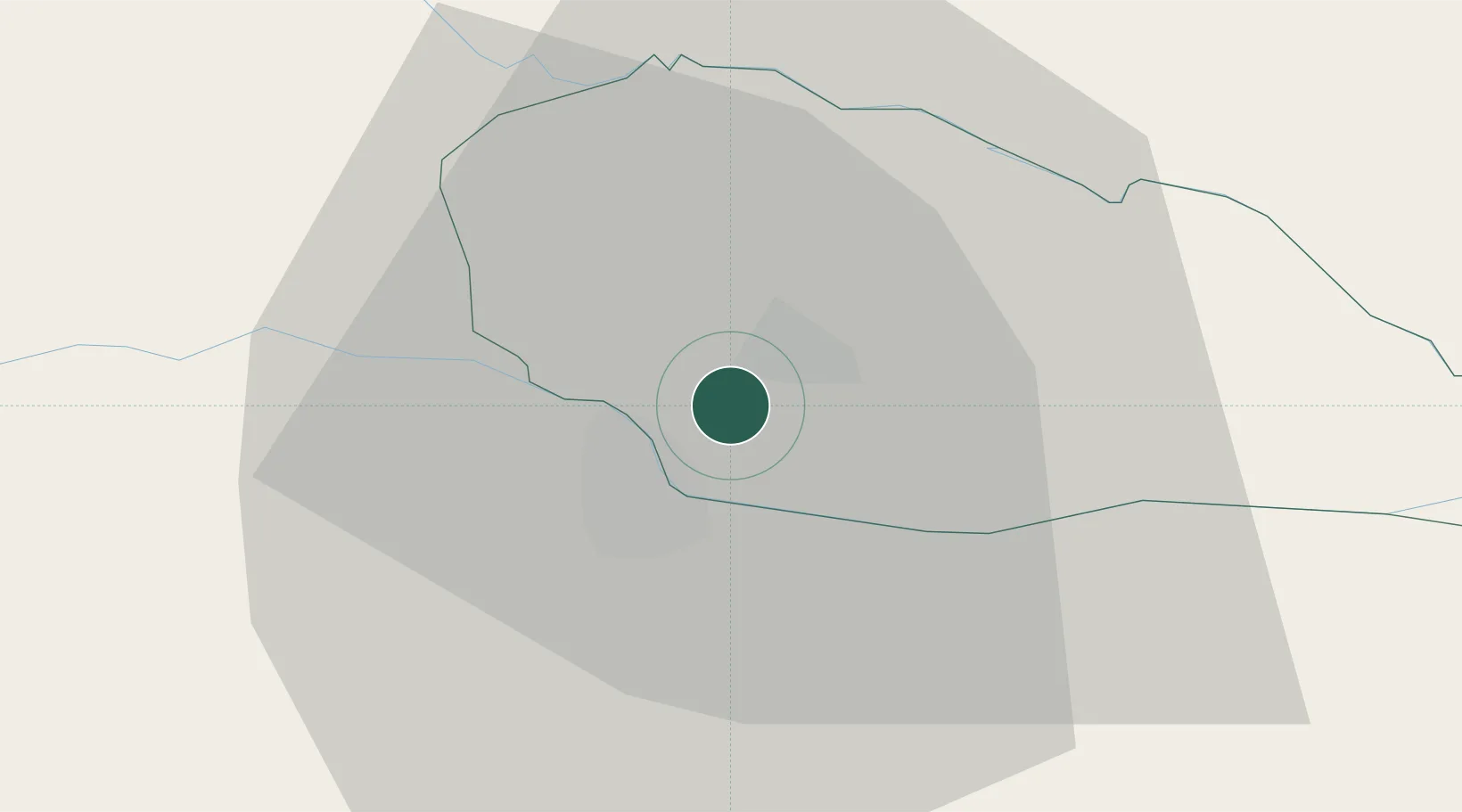
Location
Nearby Logistics Neighbours
Cities
- 1Cakovec4 km
- 2Macinec5 km
- 3Varazdin8 km
- 4Trnovec Bartolovecki9 km
- 5Belica11 km
Ports
- 1Bakar186 km
- 2Rijeka Luka190 km
- 3Omisalj191 km
- 4Senj192 km
- 5Trieste219 km
Airports
Trade Zones
- 1Sjever Free Zone9 km
- 2Krapina-Zagorje Free Zone46 km
- 3PJ Free Zone Zagreb74 km
- 4Duro Daković Free Zone183 km
- 5Free Zone Kukuljanovo185 km
DatabookThe Record of Consolidated Knowledge
Croatia beyond logistics?