UN/LOCODE hub · Slovenia
SIXZA

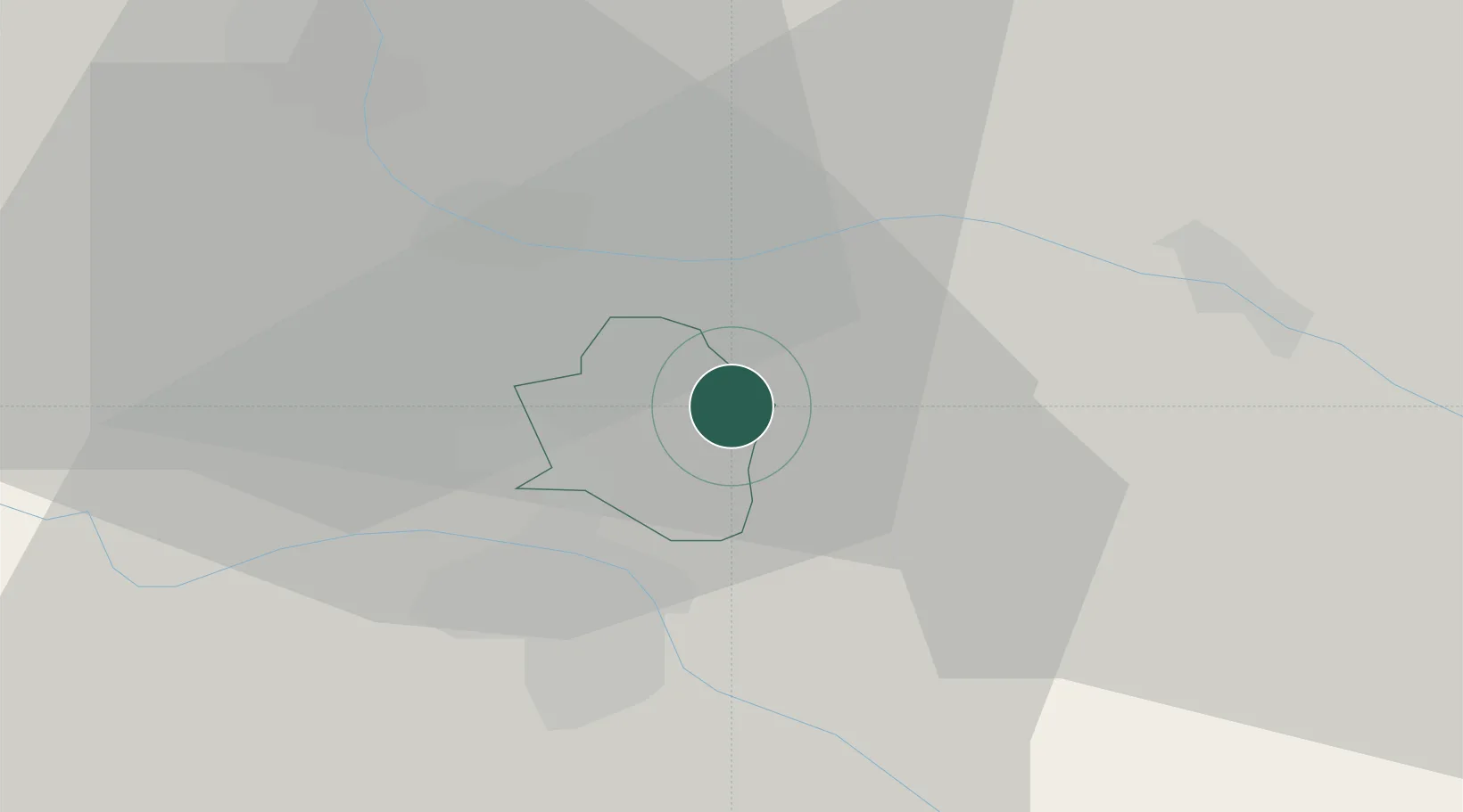
Zgornji Jakobski Dol

46.6333°, 15.7500°
332
Population
2
Transport functions

Transport Functions

Port
Road
UN/LOCODE

Hub Profile

Place type
Populated place
GeoNames
Region
Pesnica
GeoNames
Population
332
GeoNames
Time zone
Europe/Ljubljana
GeoNames
Elevation
298 m
GeoNames

Location

Location of SIXZA
Natural Earth 10m (public domain) · Pesnica · SIXZA · 46.63, 15.75GoogleOSMYandex

Nearby Logistics Neighbours

Cities
  1. 1Zgornja Velka4 km
  2. 2Eggenburg5 km
  3. 3Eibiswald8 km
  4. 4Cersak8 km
  5. 5Gosdorf11 km
Nearest neighbours — logibook spatial index (haversine) over the source coordinates
Ports
  1. 1Bakar176 km
  2. 2Rijeka Luka177 km
  3. 3Omisalj183 km
  4. 4Trieste189 km
  5. 5Muggia191 km
Nearest neighbours — logibook spatial index (haversine) over the source coordinates
Airports
  1. 1Maribor Edvard Rusjan Airport18 km
  2. 2Graz Airport46 km
  3. 3Cerklje ob Krki Air Base83 km
  4. 4Hinterstoisser Air Base99 km
  5. 5Zagreb Franjo Tuđman International Airport102 km
Nearest neighbours — logibook spatial index (haversine) over the source coordinates
Trade Zones
  1. 1Krapina-Zagorje Free Zone55 km
  2. 2Sjever Free Zone59 km
  3. 3PJ Free Zone Zagreb93 km
  4. 4Free Zone Kukuljanovo173 km
  5. 5Free Port of Trieste189 km
Nearest neighbours — logibook spatial index (haversine) over the source coordinates
DatabookThe Record of Consolidated Knowledge
Slovenia beyond logistics?
Browse databook

All Sources

LocationsUN/LOCODE
UN/LOCODE — free
LocationsGeoNames
CC BY 4.0
Portsthe NGA World Port Index
Public domain (US gov)
AirportsOurAirports
Public domain
Trade Zonesthe World Bank SEZ database
CC BY 4.0
Trade ZonesOpen Zone Map
CC BY
← Slovenia locations