Transport Functions
Port
Multimodal
Hub Profile
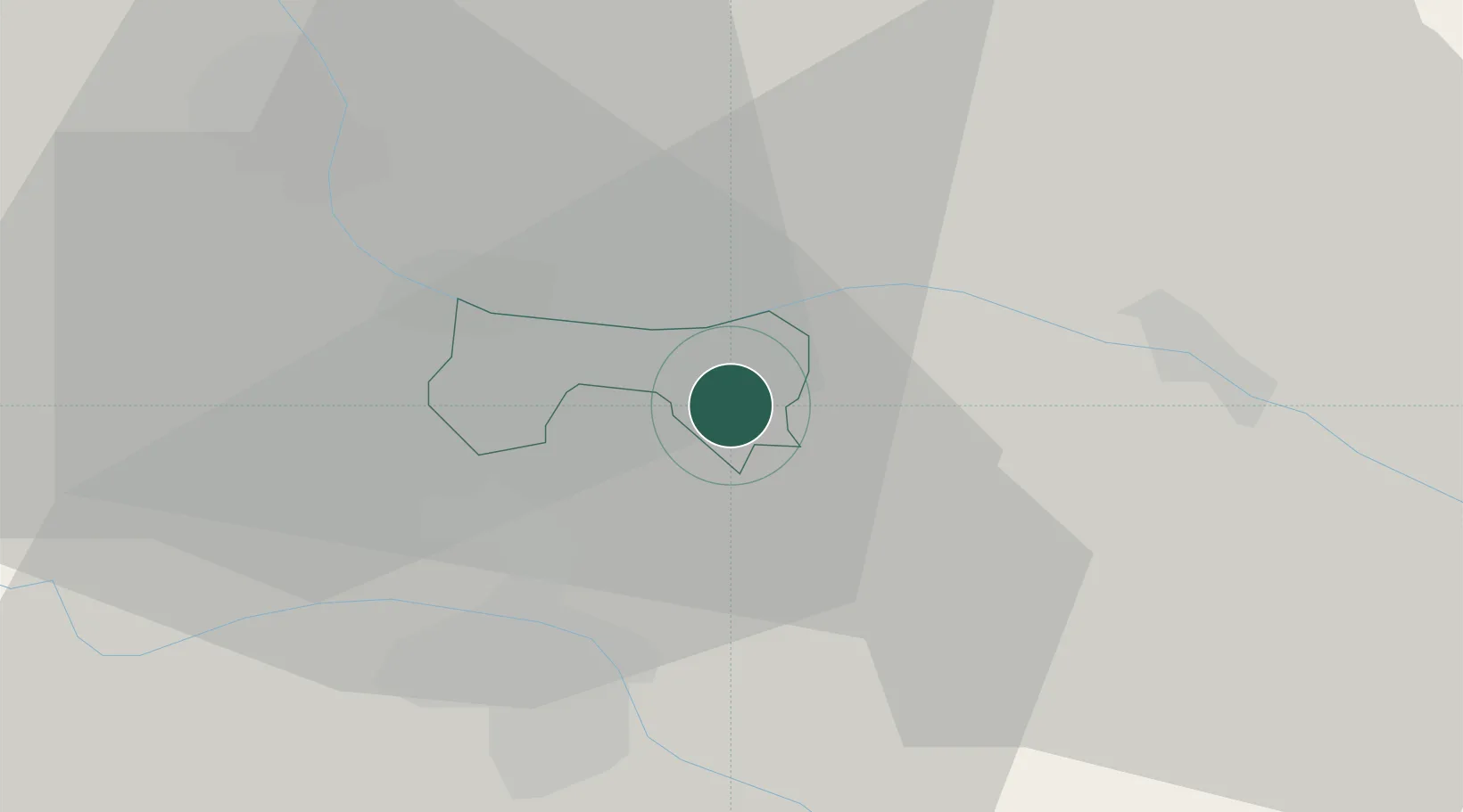
Place type
Locality
Region
Šentilj
Population
821
Time zone
Europe/Ljubljana
Elevation
373 m
Location
Nearby Logistics Neighbours
Cities
- 1Zgornji Jakobski Dol4 km
- 2Eggenburg5 km
- 3Eibiswald5 km
- 4Gosdorf8 km
- 5Cersak8 km
Ports
- 1Bakar179 km
- 2Rijeka Luka181 km
- 3Omisalj187 km
- 4Trieste192 km
- 5Muggia195 km
Airports
Trade Zones
- 1Krapina-Zagorje Free Zone58 km
- 2Sjever Free Zone61 km
- 3PJ Free Zone Zagreb97 km
- 4Free Zone Kukuljanovo177 km
- 5Free Port of Trieste192 km
DatabookThe Record of Consolidated Knowledge
Slovenia beyond logistics?