Transport Functions
Port
Rail
Road
Airport
Hub Profile
Region
D
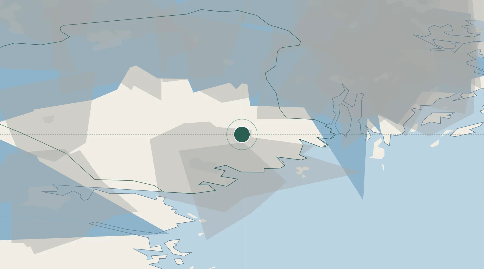
Location
Nearby Logistics Neighbours
Cities
- 1Studsvik21 km
- 2Hölö26 km
- 3Stigtomta26 km
- 4Sparreholm26 km
- 5Oxelösund28 km
Ports
- 1Oxelosund28 km
- 2Sodertalje41 km
- 3Nynashamn46 km
- 4Norrkoping67 km
- 5Stockholm69 km
Airports
- 1Stockholm Skavsta Airport20 km
- 2Eskilstuna Airport55 km
- 3Norrköping Airport64 km
- 4Stockholm-Bromma Airport66 km
- 5Stockholm Västerås Airport81 km
Trade Zones
- 1Stockholm Free Zone72 km
- 2Jönköping Free Zone220 km
- 3Free port of Ventspils306 km
- 4Turku Free Zone330 km
- 5Freeport of Hanko339 km
DatabookThe Record of Consolidated Knowledge
Sweden beyond logistics?