Transport Functions
Rail
Road
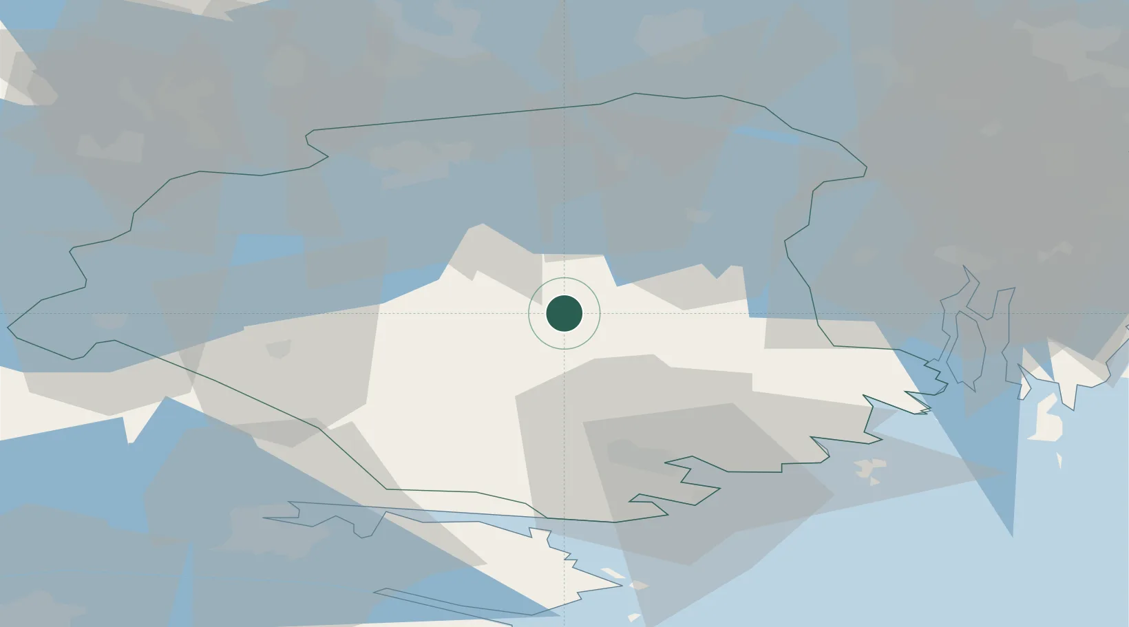
Hub Profile
Place type
Populated place
Region
Södermanland
Population
734
Time zone
Europe/Stockholm
Elevation
33 m
Location
Nearby Logistics Neighbours
Cities
- 1Malmkoping9 km
- 2Nyköping26 km
- 3Stigtomta30 km
- 4Malmby33 km
- 5Gorsingeholm34 km
Ports
- 1Nykoping37 km
- 2Oxelosund48 km
- 3Sodertalje49 km
- 4Vasteras63 km
- 5Norrkoping64 km
Airports
- 1Stockholm Skavsta Airport31 km
- 2Eskilstuna Airport32 km
- 3Stockholm Västerås Airport59 km
- 4Norrköping Airport63 km
- 5Stockholm-Bromma Airport72 km
Trade Zones
- 1Stockholm Free Zone80 km
- 2Jönköping Free Zone215 km
- 3Gothenburg Boundless Customs Warehouse329 km
- 4Free port of Ventspils332 km
- 5Turku Free Zone339 km
DatabookThe Record of Consolidated Knowledge
Sweden beyond logistics?