UN/LOCODE hub · Sweden
SEOXE

Oxelösund

58.6682°, 17.1088°
3
Transport functions

Transport Functions

Port
Rail
Road
Oxelösund is also a profiled seaport →
UN/LOCODE

Hub Profile

Region
D
GeoNames
Logistics facilities
1
UN/LOCODE

Location

Location of SEOXE
Natural Earth 10m (public domain) · D · SEOXE · 58.67, 17.11GoogleOSMYandex

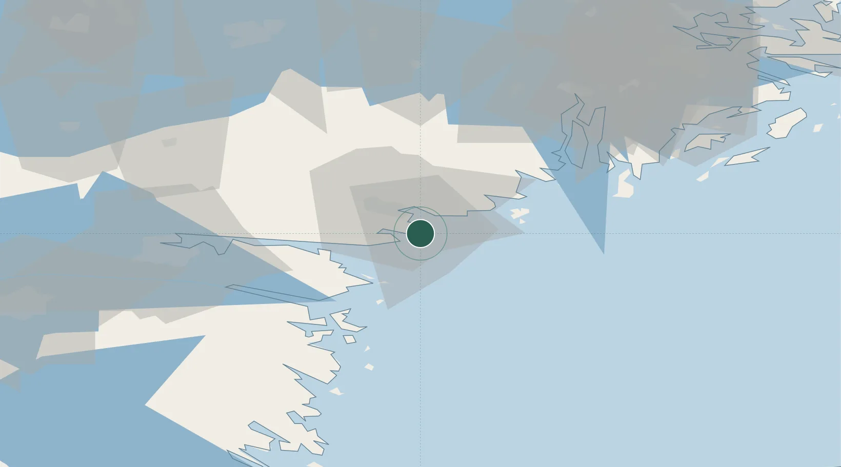
Nearby Logistics Neighbours

Cities
  1. 1Studsvik19 km
  2. 2Marviken21 km
  3. 3Stigtomta24 km
  4. 4Nyköping28 km
  5. 5Bråviken34 km
Nearest neighbours — logibook spatial index (haversine) over the source coordinates
Ports
  1. 1Nykoping11 km
  2. 2Norrkoping53 km
  3. 3Nynashamn56 km
  4. 4Sodertalje65 km
  5. 5Stockholm92 km
Nearest neighbours — logibook spatial index (haversine) over the source coordinates
Airports
  1. 1Stockholm Skavsta Airport18 km
  2. 2Norrköping Airport51 km
  3. 3Eskilstuna Airport79 km
  4. 4Linköping City Airport88 km
  5. 5Stockholm-Bromma Airport90 km
Nearest neighbours — logibook spatial index (haversine) over the source coordinates
Trade Zones
  1. 1Stockholm Free Zone95 km
  2. 2Jönköping Free Zone203 km
  3. 3Free port of Ventspils296 km
  4. 4Gothenburg Boundless Customs Warehouse328 km
  5. 5Turku Free Zone349 km
Nearest neighbours — logibook spatial index (haversine) over the source coordinates
DatabookThe Record of Consolidated Knowledge
Sweden beyond logistics?
Browse databook

All Sources

LocationsUN/LOCODE
UN/LOCODE — free
Portsthe NGA World Port Index
Public domain (US gov)
AirportsOurAirports
Public domain
Trade Zonesthe World Bank SEZ database
CC BY 4.0
Trade ZonesOpen Zone Map
CC BY
← Sweden locations