Transport Functions
Port
Hub Profile
Place type
Populated place
Region
Södermanland
Time zone
Europe/Stockholm
Elevation
30 m
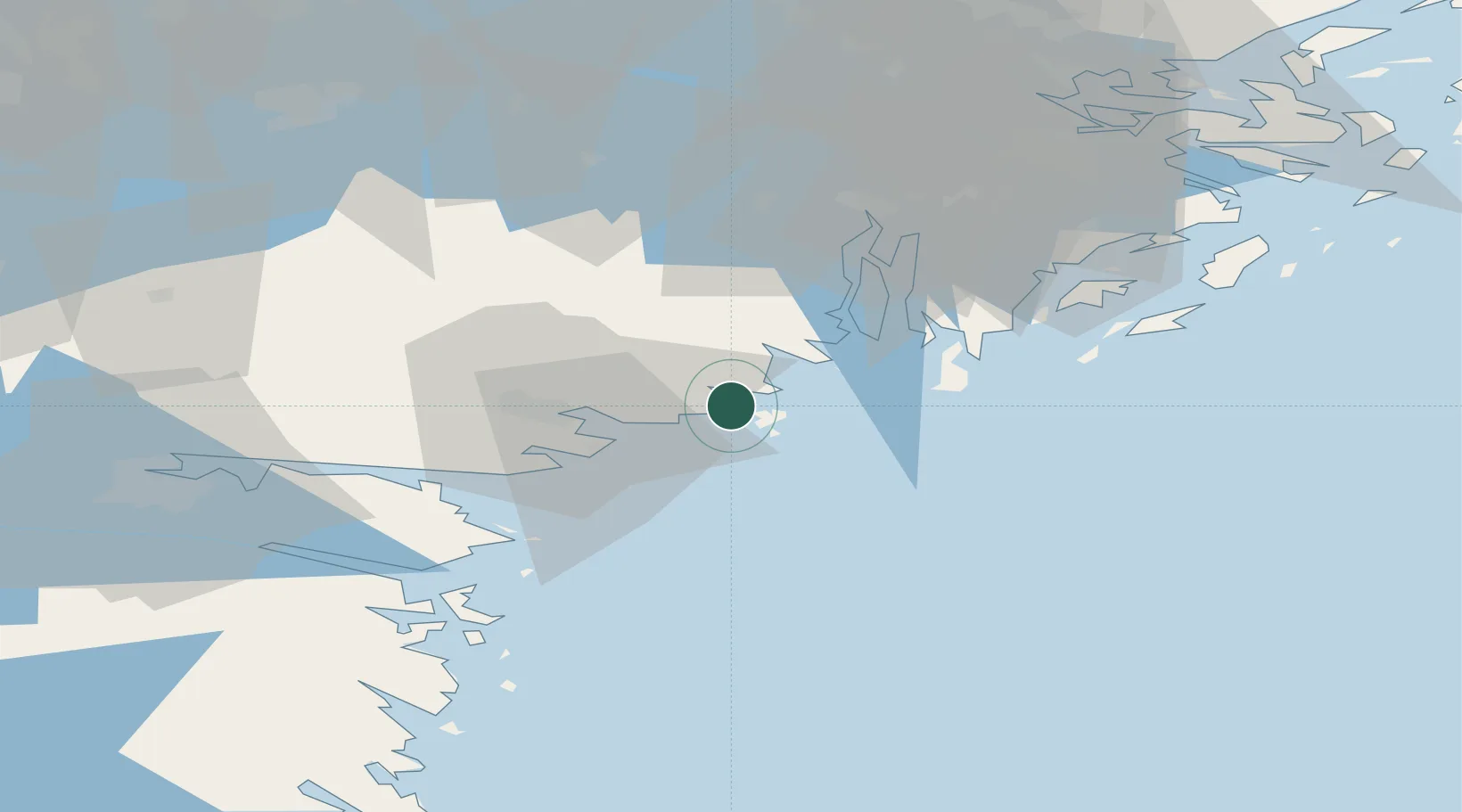
Location
Nearby Logistics Neighbours
Cities
- 1Oxelösund19 km
- 2Nyköping21 km
- 3Stora Vika30 km
- 4Hölö31 km
- 5Stigtomta35 km
Ports
- 1Oxelosund19 km
- 2Nykoping21 km
- 3Nynashamn37 km
- 4Sodertalje49 km
- 5Norrkoping71 km
Airports
- 1Stockholm Skavsta Airport27 km
- 2Norrköping Airport69 km
- 3Stockholm-Bromma Airport73 km
- 4Eskilstuna Airport76 km
- 5Stockholm Västerås Airport101 km
Trade Zones
- 1Stockholm Free Zone77 km
- 2Jönköping Free Zone222 km
- 3Free port of Ventspils287 km
- 4Turku Free Zone330 km
- 5Freeport of Hanko334 km
DatabookThe Record of Consolidated Knowledge
Sweden beyond logistics?