Transport Functions
Port
Rail
Road
Hub Profile
Place type
Populated place
Region
Södermanland
Population
1,949
Time zone
Europe/Stockholm
Elevation
46 m
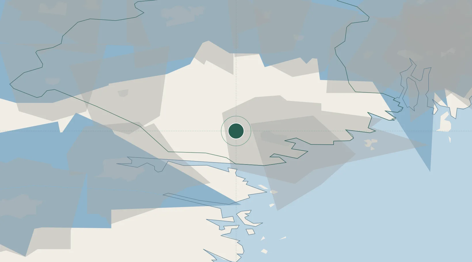
Location
Nearby Logistics Neighbours
Ports
- 1Nykoping15 km
- 2Oxelosund24 km
- 3Norrkoping41 km
- 4Sodertalje65 km
- 5Nynashamn69 km
Airports
- 1Stockholm Skavsta Airport8 km
- 2Norrköping Airport39 km
- 3Eskilstuna Airport61 km
- 4Linköping City Airport77 km
- 5Malmen Air Base86 km
Trade Zones
- 1Stockholm Free Zone97 km
- 2Jönköping Free Zone195 km
- 3Gothenburg Boundless Customs Warehouse315 km
- 4Free port of Ventspils319 km
- 5Turku Free Zone356 km
DatabookThe Record of Consolidated Knowledge
Sweden beyond logistics?