Seaport · Sweden
NorrkopingSENRK
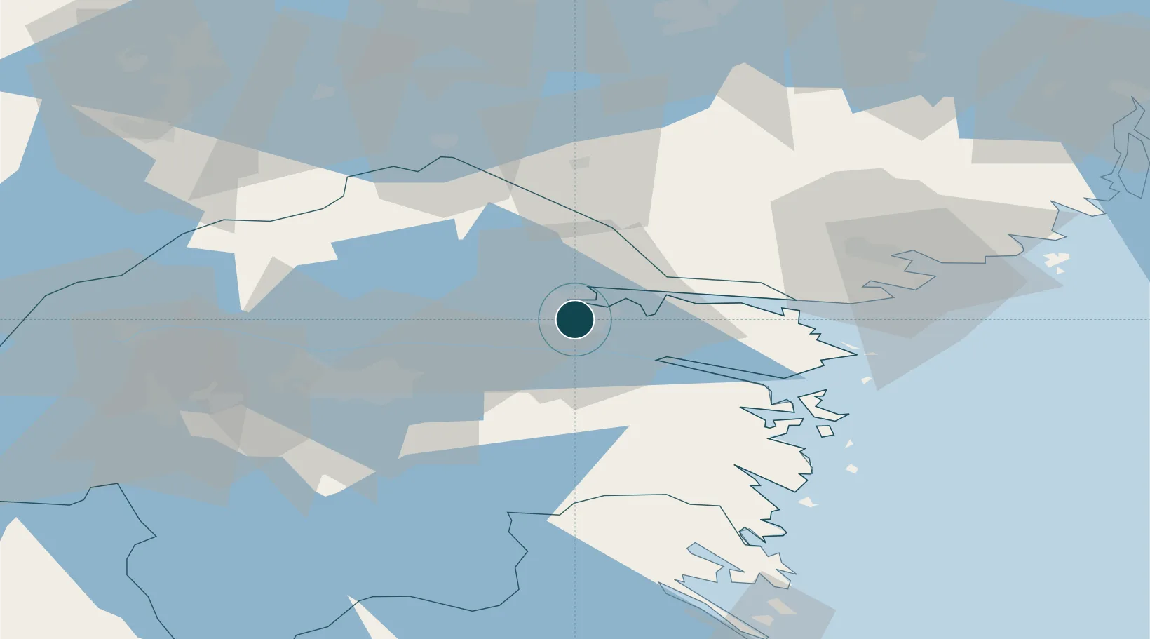
58.5833°, 16.2000°
7.9 m
Channel depth
1
Container terminals
40.5
Port liner connectivity
Channel & Berth Profile
Pilotage, Tugs & Services
Pilotage compulsoryYES
Pilotage availableYES
Pilotage advisableYES
Tug assistanceYES
Salvage tugsYES
Potable waterYES
MedicalYES
Garbage disposalYES
Facilities & Capabilities
ContainerYES
Ro-RoYES
Liquid bulkYES
Dry bulkYES
Oil terminalNO
Break bulkYES
Dry dockNO
RepairsNO
BunkeringYES
Rail linkYES
Dangerous cargo—
ISPS security—
Harbour Specifications
Harbour size
Medium
Harbour type
River (Natural)
Shelter
Good
Water body
Baltic Sea; North Atlantic Ocean
Overhead limit
Yes
Pilotage
Yes
Liner Connectivity
40.5
PLSCI
Port Liner Shipping Connectivity Index for Norrkoping, as published by UNCTAD for the latest available quarter. Higher values indicate stronger scheduled liner-shipping integration.
Shown relative to the highest per-port PLSCI in the dataset (1,657.9).
Location
Container Terminals · 1
PAMPUS CONTAINER TERMINAL
SEPCT PORT OF NORRKOPING
Nearby Logistics Neighbours
Ports
- 1Nykoping51 km
- 2Oxelosund54 km
- 3Vastervik95 km
- 4Verkeback97 km
- 5Sodertalje107 km
Airports
- 1Norrköping Airport3 km
- 2Linköping City Airport36 km
- 3Malmen Air Base45 km
- 4Stockholm Skavsta Airport47 km
- 5Eskilstuna Airport90 km
Trade Zones
- 1Stockholm Free Zone139 km
- 2Jönköping Free Zone153 km
- 3Gothenburg Boundless Customs Warehouse275 km
- 4Free port of Ventspils340 km
- 5MTS Malmö Transport and Spedition381 km
DatabookThe Record of Consolidated Knowledge
Sweden beyond logistics?