Transport Functions
Rail
Road
Hub Profile
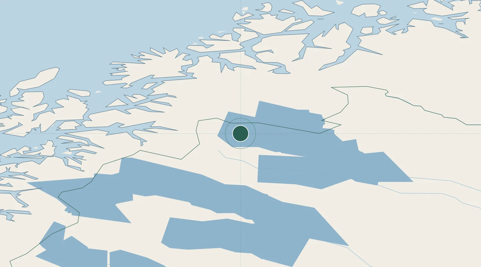
Place type
Populated place
Region
Norrbotten
Population
85
Time zone
Europe/Stockholm
Elevation
408 m
Location
Nearby Logistics Neighbours
Ports
- 1Narvik57 km
- 2Sjovegan70 km
- 3Litle Ballangen78 km
- 4Lilandsgrunnen79 km
- 5Finnsnes104 km
Airports
- 1Bardufoss Airport79 km
- 2Kiruna Airport87 km
- 3Harstad/Narvik Airport88 km
- 4Tromsø Airport148 km
- 5Andøya Airport, Andenes149 km
Trade Zones
- 1Oulu Port Free Warehouse Area473 km
- 2Turku Free Zone894 km
- 3Free Zone of Lappeenranta924 km
- 4Port of Hamina-Kotka958 km
- 5Freeport of Hanko968 km
DatabookThe Record of Consolidated Knowledge
Sweden beyond logistics?