Large airport · Saudi Arabia

Prince Abdulmohsen Bin Abdulaziz International AirportOEYN
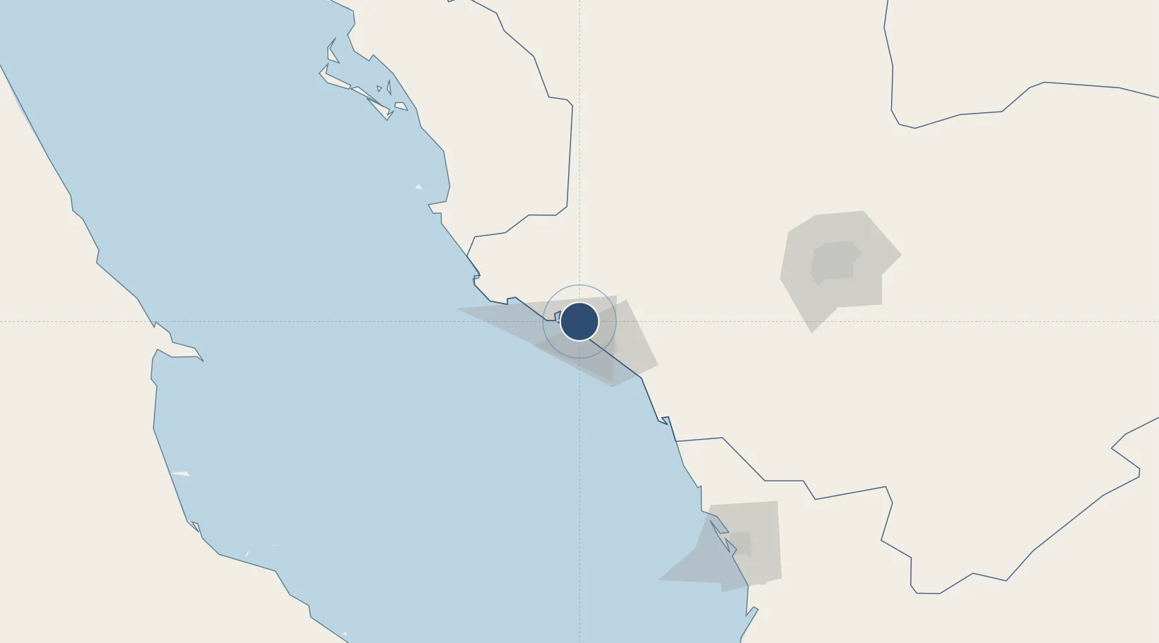
24.1442°, 38.0634°
10,532 ft
Longest runway
1
Runways
26 ft
Elevation

Runway & Layout

Prince Abdulmohsen Bin Abdulaziz International Airport runway & taxiway layout
Runway & taxiway layout — OpenStreetMap (ODbL) / OurAirports

Radio Frequencies

CTAF
122.8 MHz
AFIS
118.1 MHz
INFO
MISC
133.5 MHz
FIRE RESCUE SVC
OurAirports

Runways · 1

RunwayDimensions SurfaceTrue headingLit
10/28 10,532 × 148ft Asphalt 103°
OurAirports

Airport Specifications

IATA code
YNB
OurAirports
ICAO code
OEYN
OurAirports
Airport class
Large airport
OurAirports
Scheduled service
Yes
OurAirports
Runway surface
Asphalt
OurAirports
Served city
Yanbu
OurAirports

Location

Location of OEYN
Natural Earth 10m (public domain) · Al Madinah · OEYN · 24.14, 38.06GoogleOSMYandex

Nearby Logistics Neighbours

Airports
  1. 1Prince Mohammad Bin Abdulaziz Airport172 km
  2. 2Red Sea International Airport192 km
  3. 3Al-Ula International Airport260 km
  4. 4Berenice International Airport / Banas Cape Air Base265 km
  5. 5Al Wajh Domestic Airport279 km
Nearest neighbours — logibook spatial index (haversine) over the source coordinates
Cities
  1. 1Yanbu commercial city9 km
  2. 2Yanbu Industrial City30 km
  3. 3Fiji53 km
  4. 4Al Muajjiz82 km
  5. 5Umm Lajj126 km
Nearest neighbours — logibook spatial index (haversine) over the source coordinates
Ports
  1. 1Yanbu7 km
  2. 2Rabigh183 km
  3. 3Jiddah317 km
  4. 4Al Qusayr438 km
  5. 5Hamrawein454 km
Nearest neighbours — logibook spatial index (haversine) over the source coordinates
Trade Zones
  1. 1Yanbu Modon Oasis2 km
  2. 2Yanbu Industrial City25 km
  3. 3Al-Madina Al-Munawwara Industrial City148 km
  4. 4Knowledge Economic City in Medina169 km
  5. 5Rābigh Industrial City185 km
Nearest neighbours — logibook spatial index (haversine) over the source coordinates
DatabookThe Record of Consolidated Knowledge
Saudi Arabia beyond logistics?
Browse databook

All Sources

AirportsOurAirports
Public domain
Portsthe NGA World Port Index
Public domain (US gov)
LocationsUN/LOCODE
UN/LOCODE — free
Trade Zonesthe World Bank SEZ database
CC BY 4.0
Trade ZonesOpen Zone Map
CC BY
InfrastructureOpenStreetMap
ODbL 1.0
← Saudi Arabia airports