Free Trade Zone · Saudi Arabia

King Abdullah Economic City Active
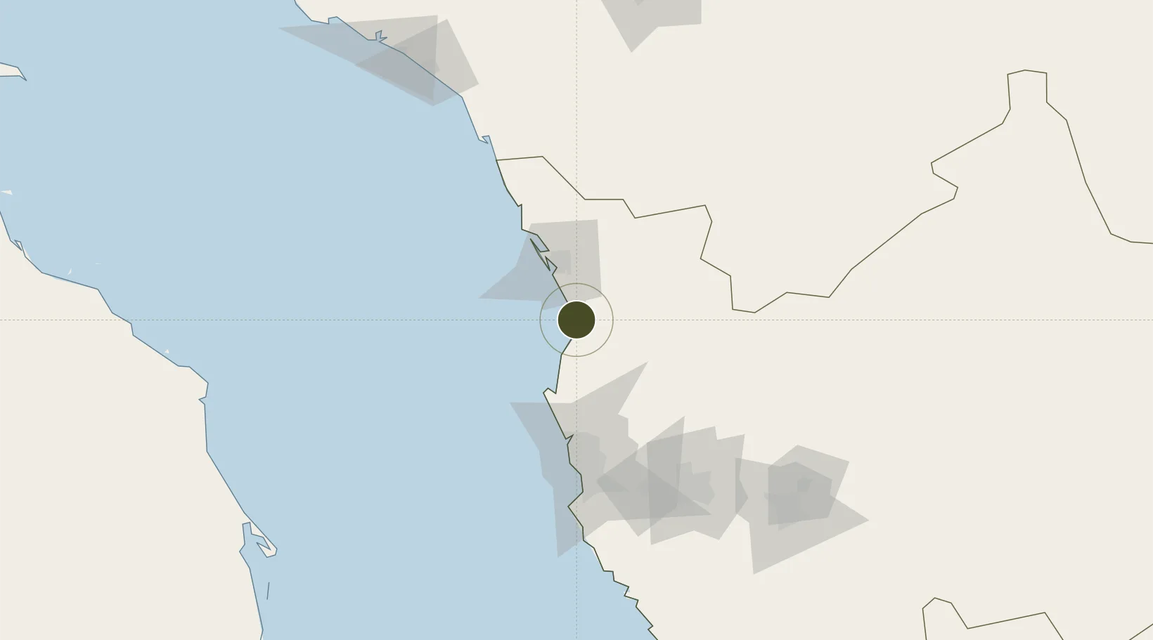
22.4489°, 39.1323°
16,800 ha
Zone area
35.1 km
Nearest port
85.5 km
Nearest airport

Gateway access

Nearest neighbours — logibook spatial index (haversine) over the source coordinates

Zone profile

Zone type
Free Trade Zone
Open Zone Map
Region
Makkah
Open Zone Map
Status
Active
Open Zone Map
Management
Public
Open Zone Map
Operator
Economic Cities and Special Zones Authority
Open Zone Map
Legal framework
Foreign Investment Act, April 2000.
Open Zone Map

Location

Location of ozm-4097
Natural Earth 10m (public domain) · Makkah · ozm-4097 · 22.45, 39.13GoogleOSMYandex

Nearby Logistics Neighbours

Ports
  1. 1Rabigh35 km
  2. 2Jiddah108 km
  3. 3Yanbu213 km
  4. 4Port Sudan373 km
  5. 5Sawakin Harbor413 km
Nearest neighbours — logibook spatial index (haversine) over the source coordinates
Airports
  1. 1King Abdulaziz International Airport86 km
  2. 2King Faisal Naval Base123 km
  3. 3Mecca East Airport143 km
  4. 4Taif International Airport181 km
  5. 5Prince Abdulmohsen Bin Abdulaziz International Airport218 km
Nearest neighbours — logibook spatial index (haversine) over the source coordinates
Cities
  1. 1King Abdullah City4 km
  2. 2Gialtra60 km
  3. 3Jeddah Yachts Club Port89 km
  4. 4Tusdeer Free Zone107 km
  5. 5Jeddah121 km
Nearest neighbours — logibook spatial index (haversine) over the source coordinates
Trade Zones
  1. 1Petro-Rabigh Private Industrial City32 km
  2. 2Rābigh Industrial City35 km
  3. 3Jeddah Modon Oasis63 km
  4. 4Jeddah Industrial City (First)113 km
  5. 5Makkah Industrial City126 km
Nearest neighbours — logibook spatial index (haversine) over the source coordinates
DatabookThe Record of Consolidated Knowledge
Saudi Arabia beyond logistics?
Browse databook

All Sources

Trade ZonesOpen Zone Map
CC BY
Portsthe NGA World Port Index
Public domain (US gov)
AirportsOurAirports
Public domain
LocationsUN/LOCODE
UN/LOCODE — free
← Saudi Arabia trade zones