Free Trade Zone · Saudi Arabia

Petro-Rabigh Private Industrial City Active
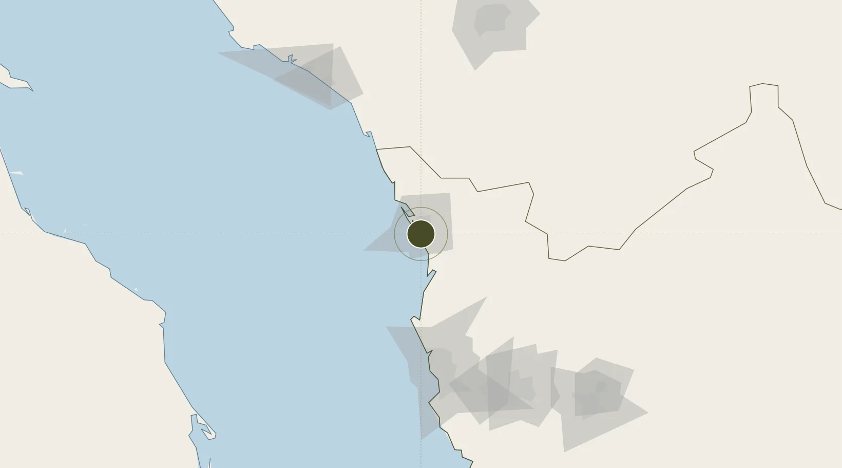
22.7169°, 39.0168°
240 ha
Zone area
3.9 km
Nearest port
116.2 km
Nearest airport

Gateway access

Nearest neighbours — logibook spatial index (haversine) over the source coordinates

Zone profile

Zone type
Free Trade Zone
Open Zone Map
Region
Makkah
Open Zone Map
Status
Active
Open Zone Map
Management
Private
Open Zone Map
Operator
Petro-Rabigh Industrial Company
Open Zone Map
Legal framework
Ministerial Legislation No. 235 dated 27/8/1422H
Open Zone Map

Location

Location of ozm-4064
Natural Earth 10m (public domain) · Makkah · ozm-4064 · 22.72, 39.02GoogleOSMYandex

Nearby Logistics Neighbours

Ports
  1. 1Rabigh4 km
  2. 2Jiddah138 km
  3. 3Yanbu181 km
  4. 4Port Sudan393 km
  5. 5Sawakin Harbor434 km
Nearest neighbours — logibook spatial index (haversine) over the source coordinates
Airports
  1. 1King Abdulaziz International Airport116 km
  2. 2King Faisal Naval Base153 km
  3. 3Mecca East Airport174 km
  4. 4Prince Abdulmohsen Bin Abdulaziz International Airport186 km
  5. 5Taif International Airport209 km
Nearest neighbours — logibook spatial index (haversine) over the source coordinates
Cities
  1. 1Gialtra28 km
  2. 2King Abdullah City29 km
  3. 3Al Muajjiz106 km
  4. 4Jeddah Yachts Club Port119 km
  5. 5Tusdeer Free Zone138 km
Nearest neighbours — logibook spatial index (haversine) over the source coordinates
Trade Zones
  1. 1Rābigh Industrial City8 km
  2. 2King Abdullah Economic City32 km
  3. 3Jeddah Modon Oasis95 km
  4. 4Jeddah Industrial City (First)144 km
  5. 5Makkah Industrial City158 km
Nearest neighbours — logibook spatial index (haversine) over the source coordinates
DatabookThe Record of Consolidated Knowledge
Saudi Arabia beyond logistics?
Browse databook

All Sources

Trade ZonesOpen Zone Map
CC BY
Portsthe NGA World Port Index
Public domain (US gov)
AirportsOurAirports
Public domain
LocationsUN/LOCODE
UN/LOCODE — free
← Saudi Arabia trade zones