Transport Functions
Port
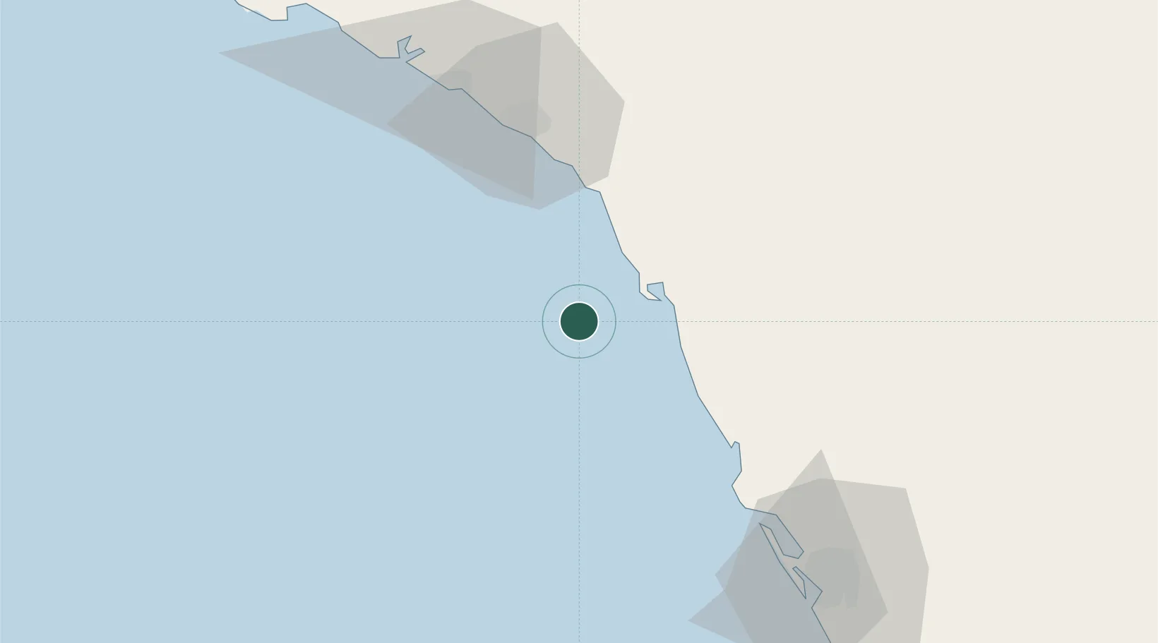
Location
Nearby Logistics Neighbours
Cities
- 1Yanbu Industrial City54 km
- 2Yanbu commercial city75 km
- 3Gialtra78 km
- 4Fiji91 km
- 5King Abdullah City133 km
Ports
- 1Yanbu77 km
- 2Rabigh102 km
- 3Jiddah235 km
- 4Port Sudan446 km
- 5Sawakin Harbor494 km
Airports
Trade Zones
- 1Yanbu Industrial City61 km
- 2Yanbu Modon Oasis85 km
- 3Petro-Rabigh Private Industrial City106 km
- 4Rābigh Industrial City106 km
- 5King Abdullah Economic City137 km
DatabookThe Record of Consolidated Knowledge
Saudi Arabia beyond logistics?