UN/LOCODE hub · Saudi Arabia
SAJUT

Juaymah Terminal

26.9167°, 50.0167°
1
Transport functions

Transport Functions

Port
Juaymah Terminal is also a profiled seaport →
UN/LOCODE

Location

Location of SAJUT
Natural Earth 10m (public domain) · Ash Sharqiyah · SAJUT · 26.92, 50.02GoogleOSMYandex

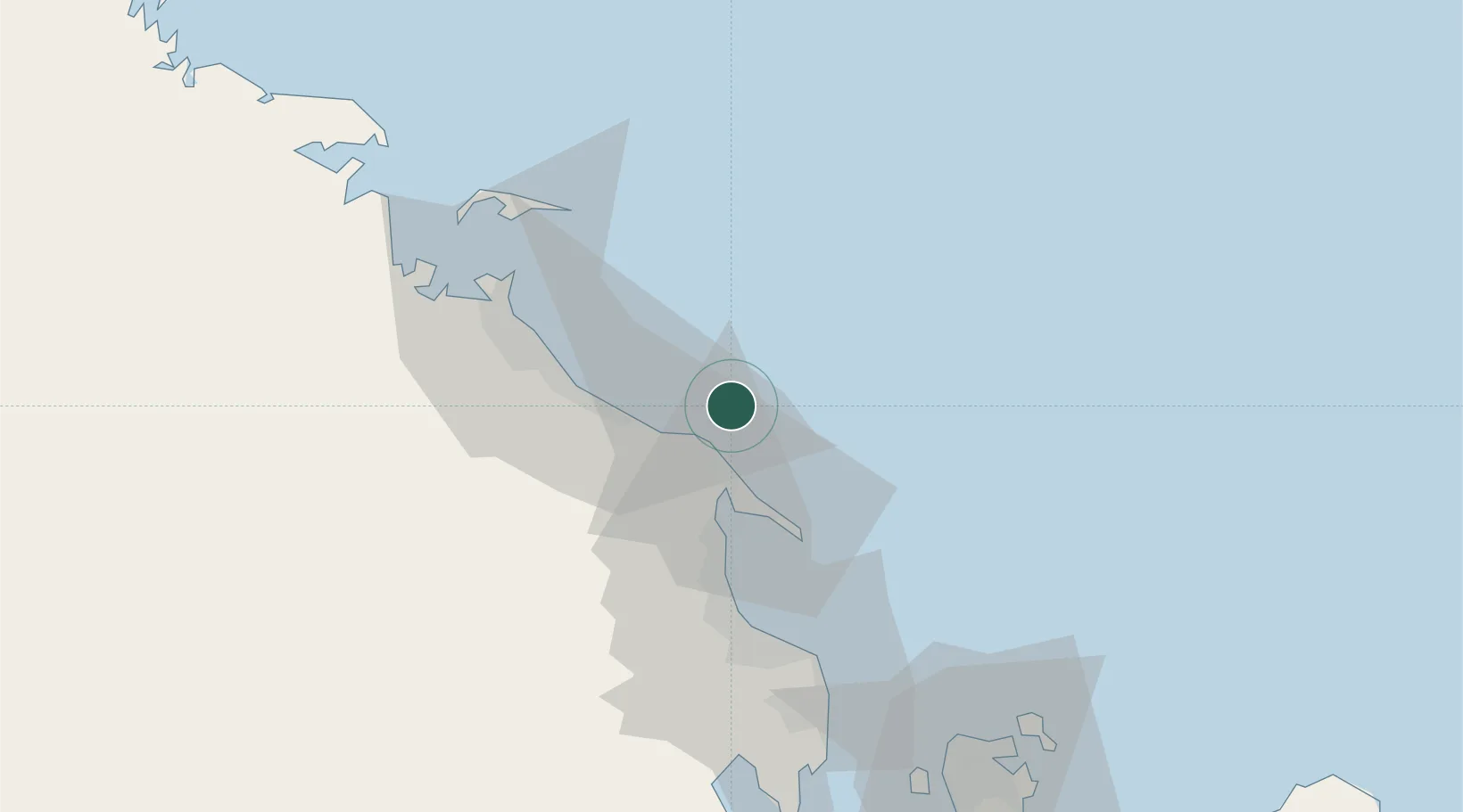
Nearby Logistics Neighbours

Cities
  1. 1Ras Tanura34 km
  2. 2Al Jubayl Industrial City36 km
  3. 3Jubail42 km
  4. 4Ad Dammam54 km
  5. 5Al Khobar73 km
Nearest neighbours — logibook spatial index (haversine) over the source coordinates
Ports
  1. 1Ras Tannurah35 km
  2. 2Al Jubayl39 km
  3. 3Dammam50 km
  4. 4Al Manamah95 km
  5. 5Mina Salman101 km
Nearest neighbours — logibook spatial index (haversine) over the source coordinates
Airports
  1. 1Ras Tanura Airport22 km
  2. 2King Fahd International Airport54 km
  3. 3Jubail Airport62 km
  4. 4King Abdulaziz Air Base74 km
  5. 5Bahrain International Airport95 km
Nearest neighbours — logibook spatial index (haversine) over the source coordinates
Trade Zones
  1. 1Al-Ahsa Al-Aḥsāʾ Modon Oasis37 km
  2. 2Jubail Industrial City46 km
  3. 3Al-Ahsa Al-Aḥsāʾ Industrial City Salwa (Second)52 km
  4. 4Dammam Industrial City (First)59 km
  5. 5Dammam Industrial City (Second)74 km
Nearest neighbours — logibook spatial index (haversine) over the source coordinates
DatabookThe Record of Consolidated Knowledge
Saudi Arabia beyond logistics?
Browse databook

All Sources

LocationsUN/LOCODE
UN/LOCODE — free
Portsthe NGA World Port Index
Public domain (US gov)
AirportsOurAirports
Public domain
Trade Zonesthe World Bank SEZ database
CC BY 4.0
Trade ZonesOpen Zone Map
CC BY
← Saudi Arabia locations