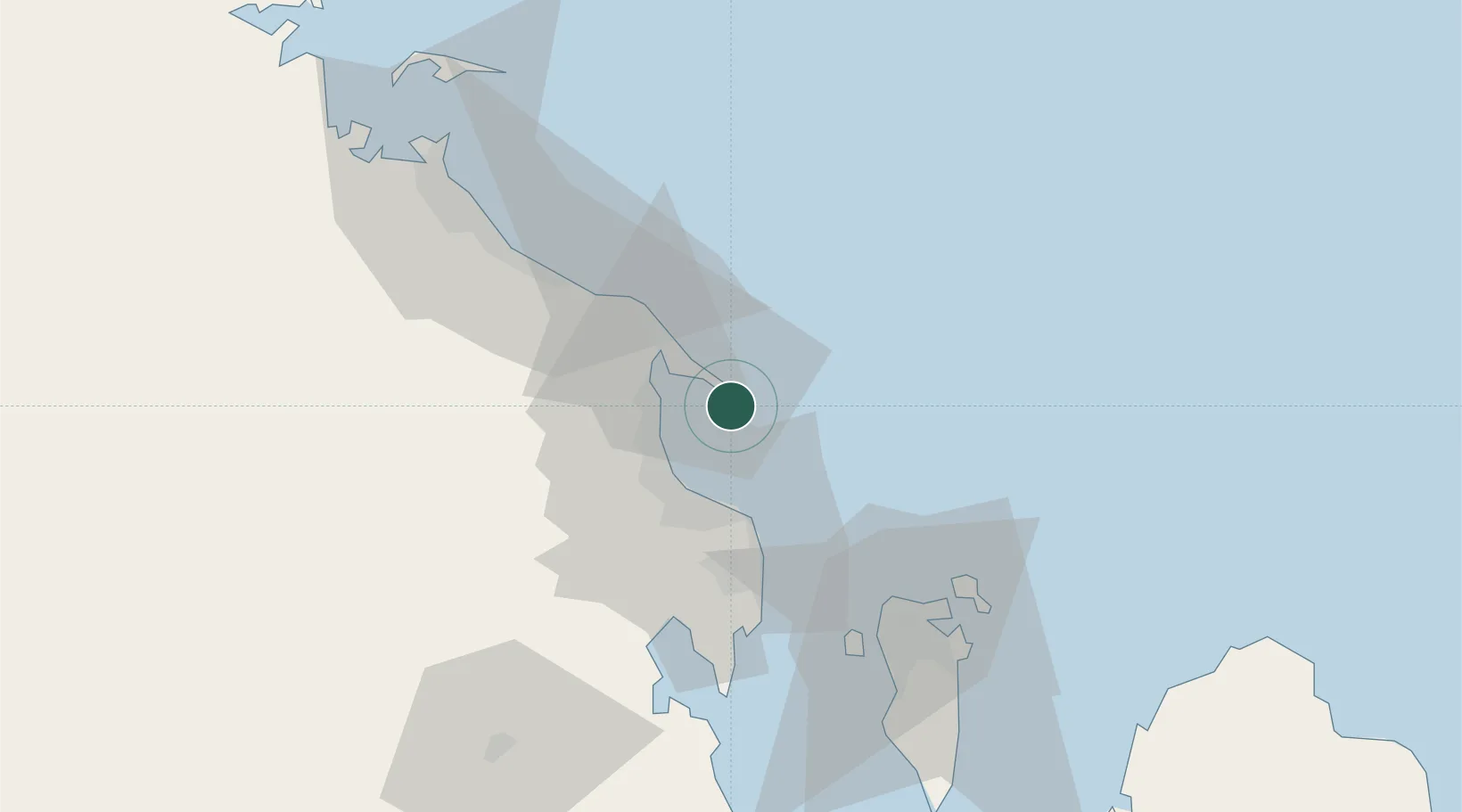
UN/LOCODE hub · Saudi Arabia
SARTA

Ras Tanura

26.6333°, 50.1500°
1
Transport functions

Transport Functions

Port
Ras Tanura is also a profiled seaport →
UN/LOCODE

Hub Profile

Place type
Populated place
GeoNames
Region
Eastern Province
GeoNames
Time zone
Asia/Riyadh
GeoNames
Elevation
6 m
GeoNames

Location

Location of SARTA
Natural Earth 10m (public domain) · Eastern Province · SARTA · 26.63, 50.15GoogleOSMYandex

Nearby Logistics Neighbours

Cities
  1. 1Ad Dammam20 km
  2. 2Juaymah Terminal34 km
  3. 3Al Khobar39 km
  4. 4Qalali53 km
  5. 5Al Hajar60 km
Nearest neighbours — logibook spatial index (haversine) over the source coordinates
Ports
  1. 1Dammam16 km
  2. 2Ju Aymah Oil Terminal35 km
  3. 3Al Manamah62 km
  4. 4Mina Salman68 km
  5. 5Al Jubayl69 km
Nearest neighbours — logibook spatial index (haversine) over the source coordinates
Airports
  1. 1Ras Tanura Airport16 km
  2. 2King Fahd International Airport40 km
  3. 3King Abdulaziz Air Base41 km
  4. 4Bahrain International Airport63 km
  5. 5Jubail Airport87 km
Nearest neighbours — logibook spatial index (haversine) over the source coordinates
Trade Zones
  1. 1Dammam Industrial City (First)26 km
  2. 2Dammam Industrial City (Second)46 km
  3. 3Bahrain International Airport62 km
  4. 4Al-Ahsa Al-Aḥsāʾ Modon Oasis63 km
  5. 5Bahrain Investment Wharf (BIW)69 km
Nearest neighbours — logibook spatial index (haversine) over the source coordinates
DatabookThe Record of Consolidated Knowledge
Saudi Arabia beyond logistics?
Browse databook

All Sources

LocationsUN/LOCODE
UN/LOCODE — free
Portsthe NGA World Port Index
Public domain (US gov)
AirportsOurAirports
Public domain
Trade Zonesthe World Bank SEZ database
CC BY 4.0
Trade ZonesOpen Zone Map
CC BY
← Saudi Arabia locations