Transport Functions
Port
Hub Profile
Place type
Populated place
Region
Leningradskaya Oblast'
Population
1,873
Time zone
Europe/Moscow
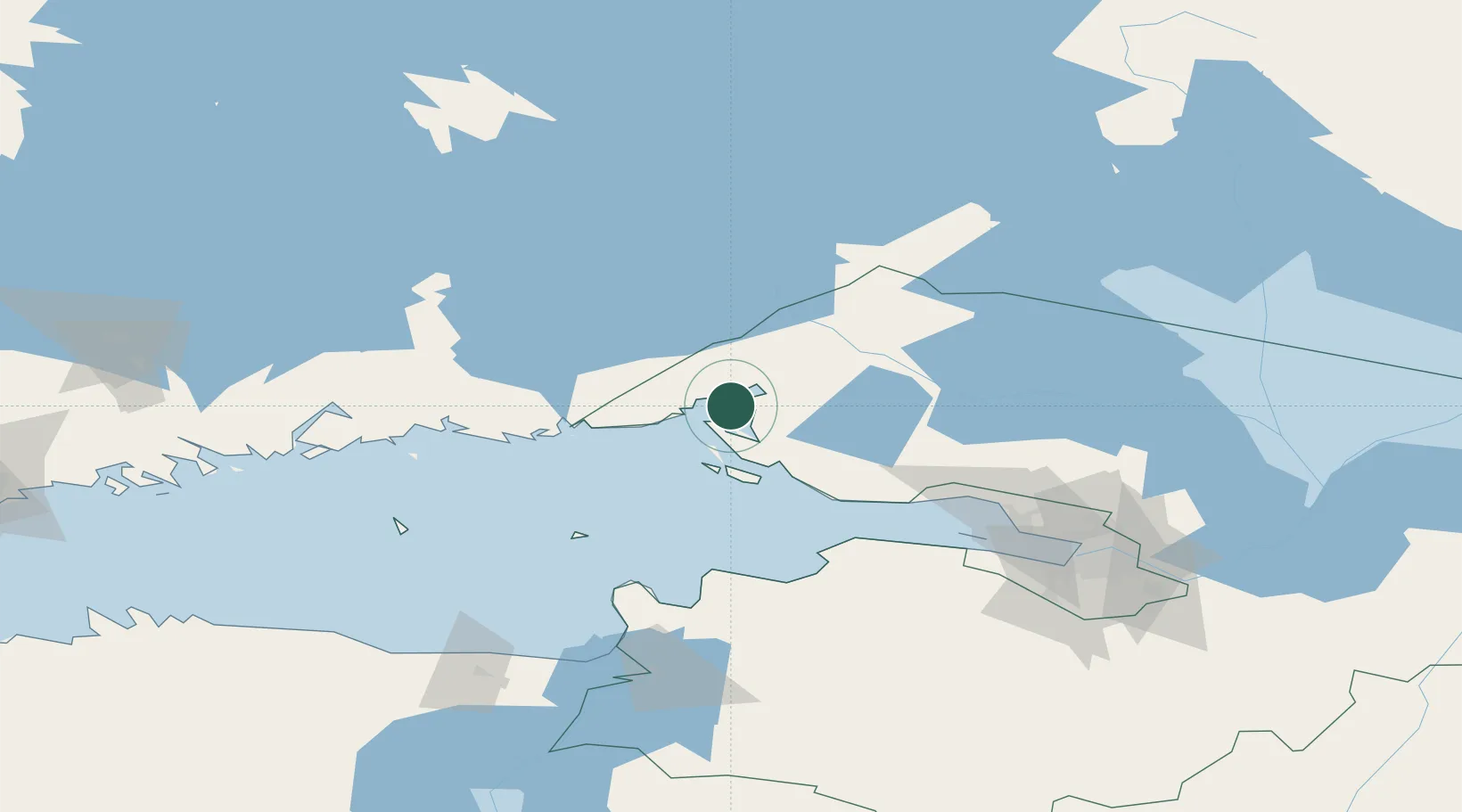
Location
Nearby Logistics Neighbours
Cities
- 1Mustola50 km
- 2Lappeenranta (Villmanstrand)51 km
- 3Joutseno52 km
- 4Luumäki58 km
- 5Imatra60 km
Ports
- 1Vyborg14 km
- 2Primorsk30 km
- 3Hamina75 km
- 4Kotka89 km
- 5Kronshtadt99 km
Airports
- 1Pribylovo Naval Air Base22 km
- 2Lappeenranta Airport51 km
- 3Utti Air Base93 km
- 4Levashovo Air Base108 km
- 5Helsinki East-Redstone Aerodrome109 km
Trade Zones
DatabookThe Record of Consolidated Knowledge
Russia beyond logistics?