Transport Functions
Port
Rail
Road
Hub Profile
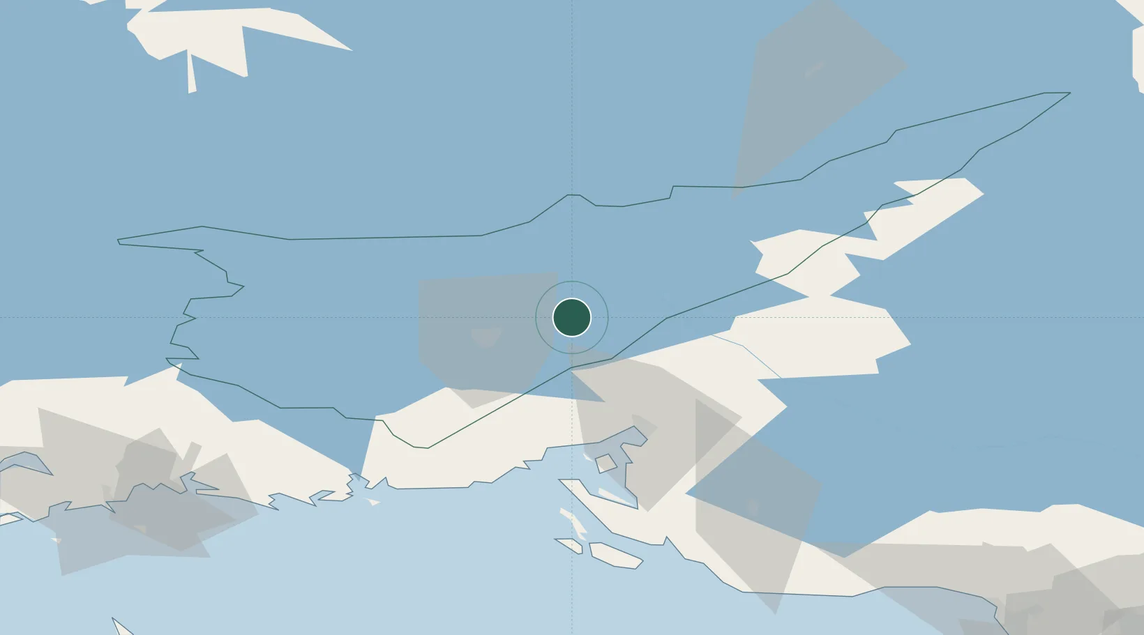
Place type
Populated place
Region
South Karelia
Population
10,603
Time zone
Europe/Helsinki
Elevation
80 m
Location
Nearby Logistics Neighbours
Cities
- 1Mustola11 km
- 2Imatra16 km
- 3Lappeenranta (Villmanstrand)17 km
- 4Vuoksen Terminal22 km
- 5Luumäki49 km
Ports
- 1Vyborg45 km
- 2Gavan Vysotsk54 km
- 3Primorsk82 km
- 4Hamina91 km
- 5Kotka108 km
Airports
- 1Lappeenranta Airport19 km
- 2Pribylovo Naval Air Base73 km
- 3Utti Air Base86 km
- 4Mikkeli Airport94 km
- 5Savonlinna Airport97 km
Trade Zones
- 1Free Zone of Lappeenranta21 km
- 2Port of Hamina-Kotka109 km
- 3St Petersburg Technology Innovative Special Economic Zone163 km
- 4Port of Sillamäe191 km
- 5Muuga Free Zone278 km
DatabookThe Record of Consolidated Knowledge
Finland beyond logistics?