Seaport · Russia

KronshtadtRUKDT

59.9833°, 29.7833°
6.4 m
Channel depth
14.9
Port liner connectivity
Kronshtadt is also a UN/LOCODE logistics hub →

Channel & Berth Profile

SEA LEVEL (CD)CHANNEL BEDCargo pier · 3.4 mChannel · 6.4 mAnchorage · 7.9 m
NGA World Port Index

Pilotage, Tugs & Services

Pilotage compulsoryYES
Pilotage advisableYES
Potable waterYES
MedicalYES
NGA World Port Index

Facilities & Capabilities

ContainerYES
Ro-RoYES
Liquid bulkNO
Dry bulkNO
Oil terminalNO
Break bulkYES
Dry dockNO
RepairsNO
BunkeringYES
Rail link
Dangerous cargo
ISPS security
NGA World Port Index

Harbour Specifications

Harbour size
Small
NGA World Port Index
Harbour type
Coastal (Breakwater)
NGA World Port Index
Shelter
Good
NGA World Port Index
Water body
Gulf of Finland; Baltic Sea; North Atlantic Ocean
NGA World Port Index
Pilotage
Yes
NGA World Port Index

Liner Connectivity

14.9
PLSCI

Port Liner Shipping Connectivity Index for Kronshtadt, as published by UNCTAD for the latest available quarter. Higher values indicate stronger scheduled liner-shipping integration.

Shown relative to the highest per-port PLSCI in the dataset (1,657.9).
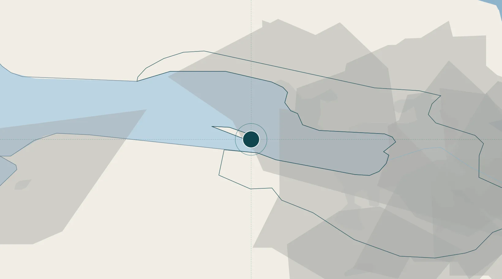
UNCTAD · Port Liner Shipping Connectivity Index

Location

Location of RUKDT
Natural Earth 10m (public domain) · City of St. Petersburg · RUKDT · 59.98, 29.78GoogleOSMYandex

Nearby Logistics Neighbours

Ports
  1. 1Lomonosov8 km
  2. 2Primorsk77 km
  3. 3Ust Luga89 km
  4. 4Gavan Vysotsk97 km
  5. 5Vyborg99 km
Nearest neighbours — logibook spatial index (haversine) over the source coordinates
Cities
  1. 1Kronstadt2 km
  2. 2Lomonosov8 km
  3. 3Bronka Port10 km
  4. 4Gorskaya13 km
  5. 5Sestroretsk16 km
Nearest neighbours — logibook spatial index (haversine) over the source coordinates
Airports
  1. 1Levashovo Air Base26 km
  2. 2Pulkovo Airport34 km
  3. 3Pushkin Airport45 km
  4. 4Pribylovo Naval Air Base78 km
  5. 5Lappeenranta Airport148 km
Nearest neighbours — logibook spatial index (haversine) over the source coordinates
Trade Zones
  1. 1St Petersburg Technology Innovative Special Economic Zone20 km
  2. 2Port of Sillamäe132 km
  3. 3Free Zone of Lappeenranta149 km
  4. 4Port of Hamina-Kotka166 km
  5. 5Moglino Special Economic Zone - Industrial265 km
Nearest neighbours — logibook spatial index (haversine) over the source coordinates
DatabookThe Record of Consolidated Knowledge
Russia beyond logistics?
Browse databook

All Sources

Portsthe NGA World Port Index
Public domain (US gov)
Logistics performanceUNCTAD
CC BY 3.0 IGO
AirportsOurAirports
Public domain
LocationsUN/LOCODE
UN/LOCODE — free
Trade Zonesthe World Bank SEZ database
CC BY 4.0
Trade ZonesOpen Zone Map
CC BY
← Russia ports