Transport Functions
Port
Rail
Road
Border Crossing
Hub Profile
Place type
District seat
Region
South Karelia
Population
24,581
Time zone
Europe/Helsinki
Elevation
68 m
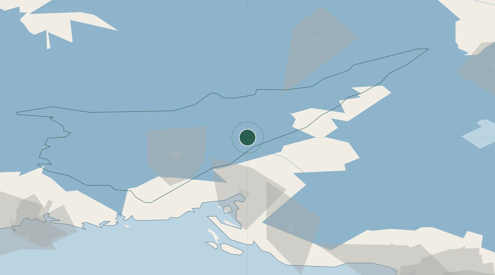
Location
Nearby Logistics Neighbours
Cities
- 1Vuoksen Terminal7 km
- 2Joutseno16 km
- 3Mustola27 km
- 4Lappeenranta (Villmanstrand)33 km
- 5Parikkala58 km
Ports
- 1Vyborg50 km
- 2Gavan Vysotsk62 km
- 3Primorsk89 km
- 4Hamina107 km
- 5Kotka124 km
Airports
- 1Lappeenranta Airport35 km
- 2Pribylovo Naval Air Base79 km
- 3Savonlinna Airport87 km
- 4Mikkeli Airport101 km
- 5Utti Air Base102 km
Trade Zones
- 1Free Zone of Lappeenranta37 km
- 2Port of Hamina-Kotka125 km
- 3St Petersburg Technology Innovative Special Economic Zone162 km
- 4Port of Sillamäe202 km
- 5Muuga Free Zone293 km
DatabookThe Record of Consolidated Knowledge
Finland beyond logistics?