Transport Functions
Port
Hub Profile
Place type
Populated place
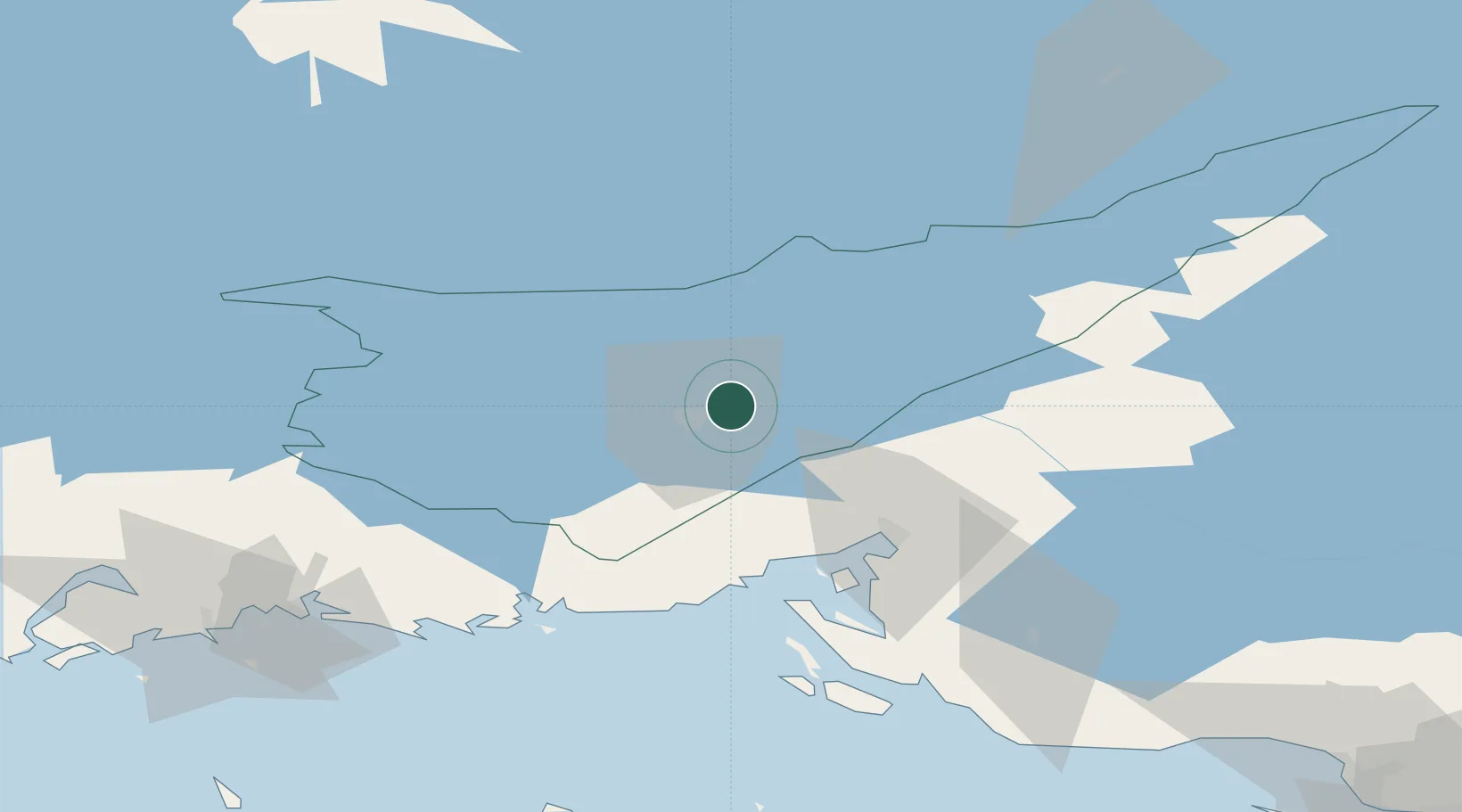
Region
South Karelia
Time zone
Europe/Helsinki
Elevation
62 m
Location
Nearby Logistics Neighbours
Cities
- 1Lappeenranta (Villmanstrand)7 km
- 2Joutseno11 km
- 3Imatra27 km
- 4Vuoksen Terminal32 km
- 5Luumäki38 km
Ports
- 1Vyborg46 km
- 2Gavan Vysotsk52 km
- 3Primorsk80 km
- 4Hamina82 km
- 5Kotka99 km
Airports
- 1Lappeenranta Airport9 km
- 2Pribylovo Naval Air Base72 km
- 3Utti Air Base76 km
- 4Mikkeli Airport90 km
- 5Savonlinna Airport103 km
Trade Zones
DatabookThe Record of Consolidated Knowledge
Finland beyond logistics?