UN/LOCODE hub · Finland
FILPP

Lappeenranta (Villmanstrand)

61.0500°, 28.1833°
5
Transport functions

Transport Functions

Port
Rail
Road
Airport
Border Crossing
UN/LOCODE

Hub Profile

Region
02
GeoNames

Location

Location of FILPP
Natural Earth 10m (public domain) · 02 · FILPP · 61.05, 28.18GoogleOSMYandex

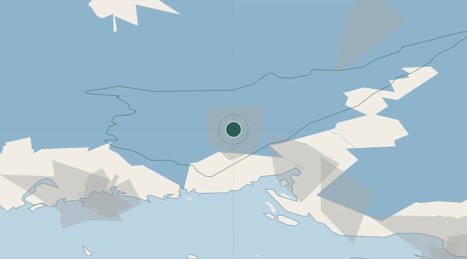
Nearby Logistics Neighbours

Cities
  1. 1Mustola7 km
  2. 2Joutseno17 km
  3. 3Luumäki32 km
  4. 4Imatra33 km
  5. 5Taavetti36 km
Nearest neighbours — logibook spatial index (haversine) over the source coordinates
Ports
  1. 1Vyborg48 km
  2. 2Gavan Vysotsk53 km
  3. 3Hamina76 km
  4. 4Primorsk80 km
  5. 5Kotka93 km
Nearest neighbours — logibook spatial index (haversine) over the source coordinates
Airports
  1. 1Lappeenranta Airport2 km
  2. 2Utti Air Base69 km
  3. 3Pribylovo Naval Air Base73 km
  4. 4Mikkeli Airport88 km
  5. 5Helsinki East-Redstone Aerodrome107 km
Nearest neighbours — logibook spatial index (haversine) over the source coordinates
Trade Zones
  1. 1Free Zone of Lappeenranta4 km
  2. 2Port of Hamina-Kotka94 km
  3. 3St Petersburg Technology Innovative Special Economic Zone167 km
  4. 4Port of Sillamäe183 km
  5. 5Muuga Free Zone262 km
Nearest neighbours — logibook spatial index (haversine) over the source coordinates
DatabookThe Record of Consolidated Knowledge
Finland beyond logistics?
Browse databook

All Sources

LocationsUN/LOCODE
UN/LOCODE — free
Portsthe NGA World Port Index
Public domain (US gov)
AirportsOurAirports
Public domain
Trade Zonesthe World Bank SEZ database
CC BY 4.0
Trade ZonesOpen Zone Map
CC BY
← Finland locations