Transport Functions
Port
Rail
Road
Hub Profile
Place type
Populated place
Region
North Savo
Time zone
Europe/Helsinki
Elevation
180 m
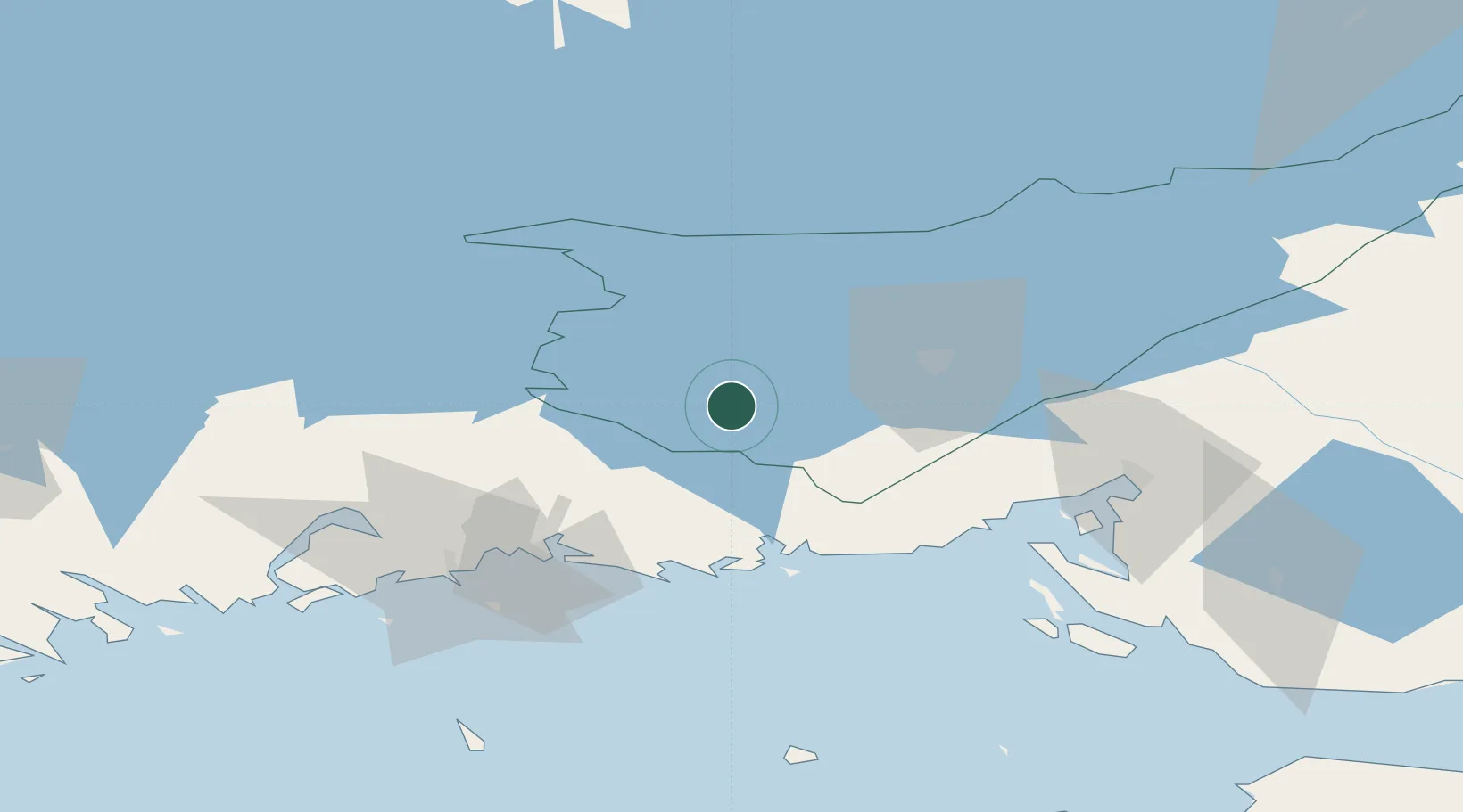
Location
Nearby Logistics Neighbours
Cities
- 1Taavetti5 km
- 2Kaipiainen30 km
- 3Lappeenranta (Villmanstrand)32 km
- 4Mustola38 km
- 5Klamila46 km
Ports
- 1Hamina47 km
- 2Gavan Vysotsk59 km
- 3Vyborg63 km
- 4Kotka63 km
- 5Primorsk81 km
Airports
- 1Lappeenranta Airport30 km
- 2Utti Air Base39 km
- 3Helsinki East-Redstone Aerodrome76 km
- 4Pribylovo Naval Air Base78 km
- 5Mikkeli Airport89 km
Trade Zones
DatabookThe Record of Consolidated Knowledge
Finland beyond logistics?