Transport Functions
Port
Hub Profile
Place type
Populated place
Region
Irkutsk Oblast
Time zone
Asia/Irkutsk
Elevation
276 m
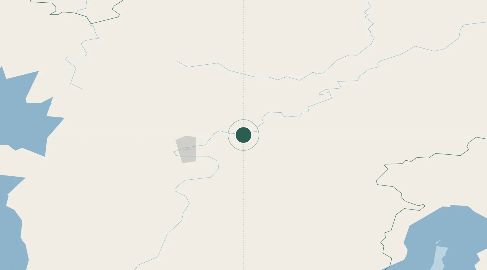
Location
Nearby Logistics Neighbours
Cities
- 1Konets Lug23 km
- 2Borisova25 km
- 3Neftelensk45 km
- 4Balakhnya55 km
- 5Leonova61 km
Ports
- 1Igarka1546 km
- 2Dudinka1701 km
- 3Jinzhou Wan2084 km
- 4Huludao Gang2085 km
- 5Qinhuangdao2117 km
Airports
- 1Ust-Kut Airport58 km
- 2Zheleznogorsk Airport165 km
- 3Nizhneangarsk International Airport225 km
- 4Bratsk Airport310 km
- 5Khuzhir Airport423 km
Trade Zones
- 1Baikal Haven Touristic Zone580 km
- 2Baikal Gates Special Economic Zone631 km
- 3Altanbulag Special Economic Zone745 km
- 4Manzhouli Industrial Park1091 km
- 5Zhalai Nuoer Industrial Park1119 km
DatabookThe Record of Consolidated Knowledge
Russia beyond logistics?