Diversified Zone · Mongolia

Altanbulag Special Economic Zone Active
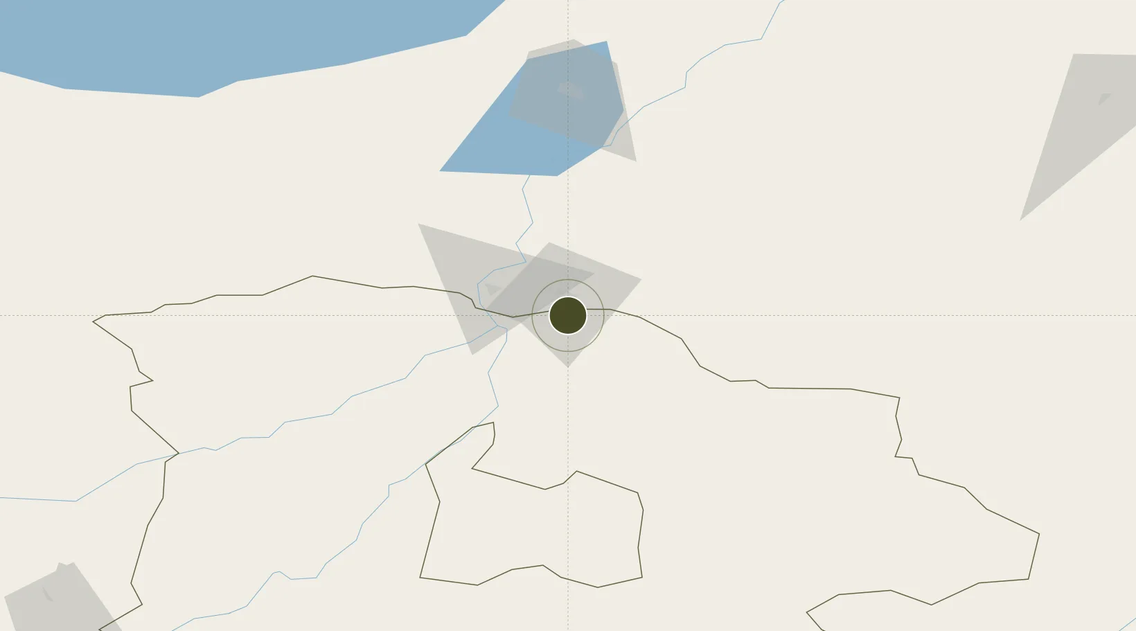
50.2995°, 106.4685°
93 ha
Zone area
1,542.4 km
Nearest port
48.1 km
Nearest airport

Gateway access

Nearest neighbours — logibook spatial index (haversine) over the source coordinates

Zone profile

Zone type
Diversified Zone
Open Zone Map
Region
Selenge
Open Zone Map
Status
Active
Open Zone Map
Management
Public
Open Zone Map
Operator
Administration of FTZ "Altanbulag"
Open Zone Map
Legal framework
State Great Khural Decision dated February 12, 2015
Open Zone Map

Location

Location of ozm-2860
Natural Earth 10m (public domain) · Selenge · ozm-2860 · 50.30, 106.47GoogleOSMYandex

Nearby Logistics Neighbours

Ports
  1. 1Qinhuangdao1542 km
  2. 2Tianjin Xin Gang1544 km
  3. 3Huludao Gang1550 km
  4. 4Jinzhou Wan1553 km
  5. 5Tangshan (Jingtang)1578 km
Nearest neighbours — logibook spatial index (haversine) over the source coordinates
Airports
  1. 1Dzhida Air Base48 km
  2. 2Baikal International Airport181 km
  3. 3Ulan-Ude East Airport194 km
  4. 4Irkutsk International Airport262 km
  5. 5Bulgan Airport269 km
Nearest neighbours — logibook spatial index (haversine) over the source coordinates
Cities
  1. 1Keulrod165 km
  2. 2Haynrode244 km
  3. 3Ammern254 km
  4. 4Irkutsk265 km
  5. 5Höchstädt an der Donau277 km
Nearest neighbours — logibook spatial index (haversine) over the source coordinates
Trade Zones
  1. 1Baikal Haven Touristic Zone186 km
  2. 2Baikal Gates Special Economic Zone212 km
  3. 3Ulanhot Economic and Technological Development Zone632 km
  4. 4Manzhouli Industrial Park792 km
  5. 5Zhalai Nuoer Industrial Park810 km
Nearest neighbours — logibook spatial index (haversine) over the source coordinates
DatabookThe Record of Consolidated Knowledge
Mongolia beyond logistics?
Browse databook

All Sources

Trade ZonesOpen Zone Map
CC BY
Portsthe NGA World Port Index
Public domain (US gov)
AirportsOurAirports
Public domain
LocationsUN/LOCODE
UN/LOCODE — free
← Mongolia trade zones