Medium airport · Russia
Ust-Kut AirportUITT
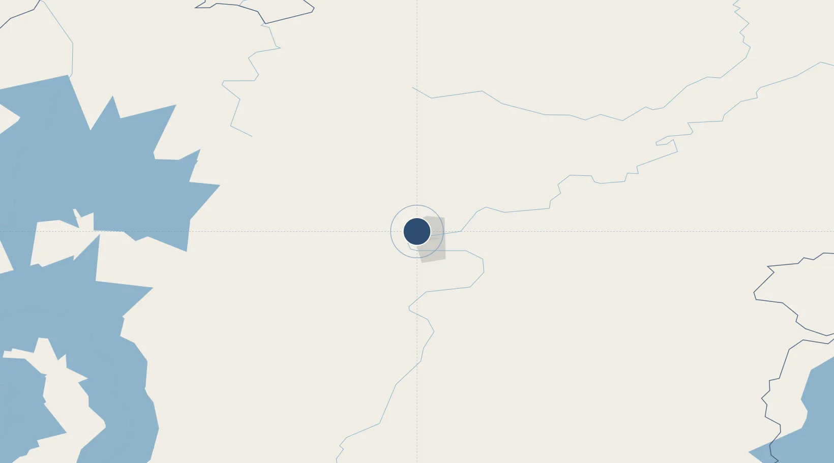
56.8567°, 105.7300°
6,561 ft
Longest runway
1
Runways
2,188 ft
Elevation
Runway & Layout

Runways · 1
| Runway | Dimensions | Surface | True heading | Lit |
|---|---|---|---|---|
| 12/33 | 6,561 × 147ft | Concrete | — | ✓ |
Airport Specifications
IATA code
UKX
ICAO code
UITT
Airport class
Medium airport
Scheduled service
Yes
Runway surface
Concrete
Served city
Ust-Kut
Location
Nearby Logistics Neighbours
Airports
- 1Zheleznogorsk Airport107 km
- 2Bratsk Airport252 km
- 3Nizhneangarsk International Airport266 km
- 4Khuzhir Airport419 km
- 5Vanavara Airport437 km
Cities
- 1Balakhnya8 km
- 2Borisova35 km
- 3Tayura58 km
- 4Glatved Strand67 km
- 5Konets Lug79 km
Ports
- 1Igarka1529 km
- 2Dudinka1690 km
- 3Jinzhou Wan2105 km
- 4Huludao Gang2105 km
- 5Qinhuangdao2134 km
Trade Zones
- 1Baikal Haven Touristic Zone574 km
- 2Baikal Gates Special Economic Zone603 km
- 3Altanbulag Special Economic Zone731 km
- 4Manzhouli Industrial Park1122 km
- 5Zhalai Nuoer Industrial Park1149 km
DatabookThe Record of Consolidated Knowledge
Russia beyond logistics?