Transport Functions
Port
Hub Profile
Place type
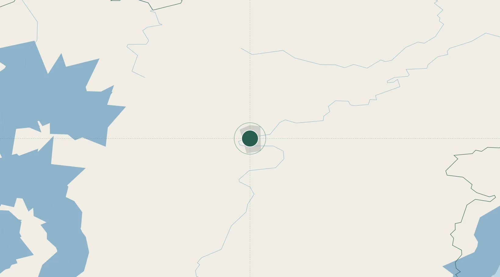
Populated place
Region
Irkutsk Oblast
Time zone
Asia/Irkutsk
Elevation
286 m
Location
Nearby Logistics Neighbours
Cities
- 1Borisova35 km
- 2Tayura55 km
- 3Glatved Strand64 km
- 4Konets Lug77 km
- 5Neftelensk96 km
Ports
- 1Igarka1537 km
- 2Dudinka1698 km
- 3Jinzhou Wan2096 km
- 4Huludao Gang2097 km
- 5Qinhuangdao2126 km
Airports
- 1Ust-Kut Airport8 km
- 2Zheleznogorsk Airport110 km
- 3Bratsk Airport256 km
- 4Nizhneangarsk International Airport258 km
- 5Khuzhir Airport411 km
Trade Zones
- 1Baikal Haven Touristic Zone567 km
- 2Baikal Gates Special Economic Zone598 km
- 3Altanbulag Special Economic Zone724 km
- 4Manzhouli Industrial Park1114 km
- 5Zhalai Nuoer Industrial Park1141 km
DatabookThe Record of Consolidated Knowledge
Russia beyond logistics?