Transport Functions
Port
Hub Profile
Place type
Populated place
Region
Irkutsk Oblast
Time zone
Asia/Irkutsk
Elevation
488 m
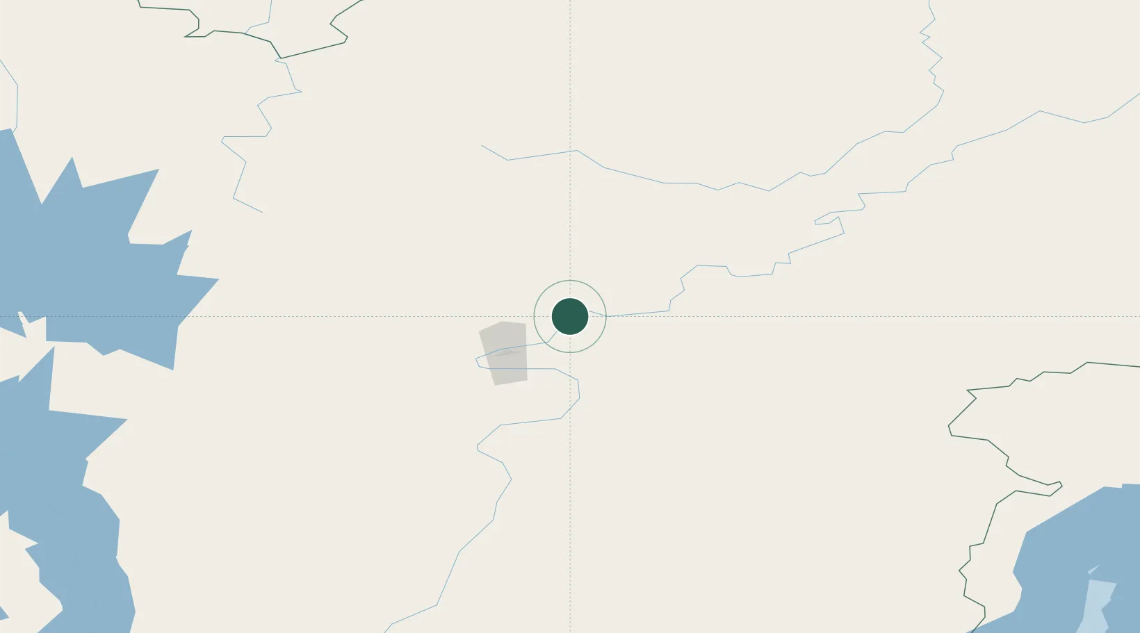
Location
Nearby Logistics Neighbours
Cities
- 1Tayura25 km
- 2Balakhnya35 km
- 3Konets Lug44 km
- 4Neftelensk61 km
- 5Leonova81 km
Ports
- 1Igarka1530 km
- 2Dudinka1688 km
- 3Jinzhou Wan2100 km
- 4Huludao Gang2101 km
- 5Qinhuangdao2132 km
Airports
- 1Ust-Kut Airport35 km
- 2Zheleznogorsk Airport142 km
- 3Nizhneangarsk International Airport247 km
- 4Bratsk Airport286 km
- 5Khuzhir Airport429 km
Trade Zones
- 1Baikal Haven Touristic Zone586 km
- 2Baikal Gates Special Economic Zone627 km
- 3Altanbulag Special Economic Zone747 km
- 4Manzhouli Industrial Park1111 km
- 5Zhalai Nuoer Industrial Park1138 km
DatabookThe Record of Consolidated Knowledge
Russia beyond logistics?