Transport Functions
Port
Hub Profile
Place type
Populated place
Region
Irkutsk Oblast
Time zone
Asia/Irkutsk
Elevation
317 m
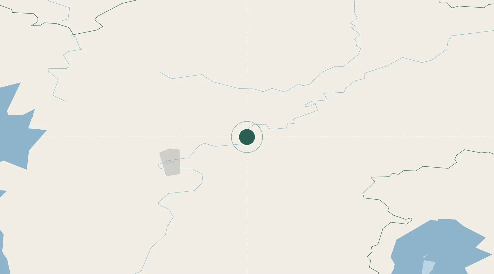
Location
Nearby Logistics Neighbours
Cities
- 1Neftelensk22 km
- 2Tayura23 km
- 3Leonova38 km
- 4Borisova44 km
- 5Potapova44 km
Ports
- 1Igarka1541 km
- 2Dudinka1694 km
- 3Jinzhou Wan2088 km
- 4Huludao Gang2089 km
- 5Qinhuangdao2123 km
Airports
- 1Ust-Kut Airport79 km
- 2Zheleznogorsk Airport186 km
- 3Nizhneangarsk International Airport223 km
- 4Bratsk Airport329 km
- 5Khuzhir Airport438 km
Trade Zones
- 1Baikal Haven Touristic Zone595 km
- 2Baikal Gates Special Economic Zone652 km
- 3Altanbulag Special Economic Zone762 km
- 4Manzhouli Industrial Park1092 km
- 5Zhalai Nuoer Industrial Park1119 km
DatabookThe Record of Consolidated Knowledge
Russia beyond logistics?