Transport Functions
Port
Hub Profile
Place type
Populated place
Region
Irkutsk Oblast
Time zone
Asia/Irkutsk
Elevation
434 m
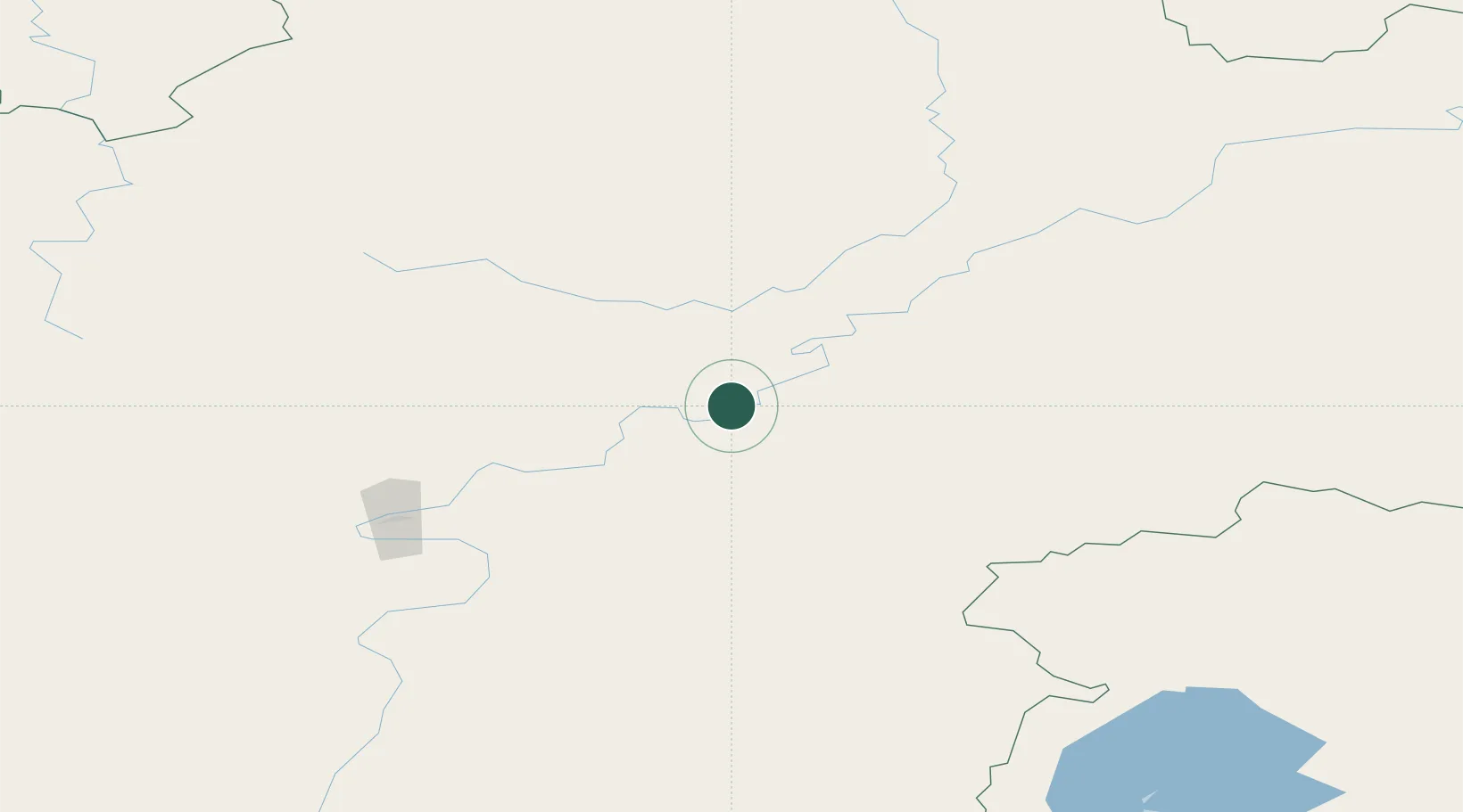
Location
Nearby Logistics Neighbours
Cities
- 1Potapova7 km
- 2Neftelensk23 km
- 3Makarovo27 km
- 4Konets Lug38 km
- 5Tayura61 km
Ports
- 1Igarka1542 km
- 2Dudinka1692 km
- 3Jinzhou Wan2086 km
- 4Huludao Gang2088 km
- 5Qinhuangdao2124 km
Airports
- 1Ust-Kut Airport117 km
- 2Nizhneangarsk International Airport215 km
- 3Zheleznogorsk Airport224 km
- 4Bratsk Airport365 km
- 5Bodaybo Airport409 km
Trade Zones
- 1Baikal Haven Touristic Zone614 km
- 2Baikal Gates Special Economic Zone681 km
- 3Altanbulag Special Economic Zone785 km
- 4Manzhouli Industrial Park1085 km
- 5Zhalai Nuoer Industrial Park1112 km
DatabookThe Record of Consolidated Knowledge
Russia beyond logistics?