Runway & Layout

Airport Specifications
ICAO code
UIIH
Airport class
Small airport
Scheduled service
Yes
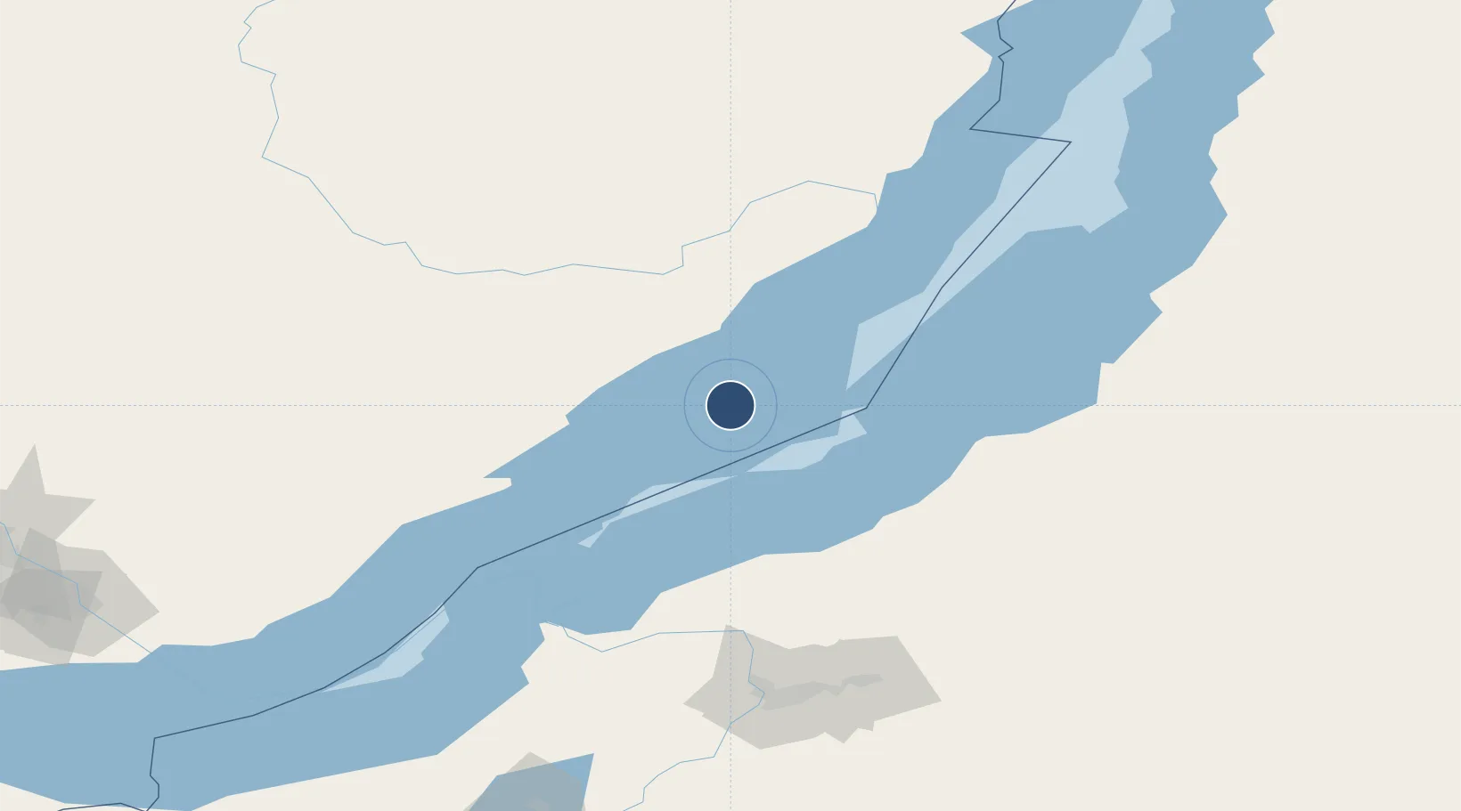
Served city
Khuzhir, Olkhon Island
Location
Nearby Logistics Neighbours
Airports
- 1Ulan-Ude East Airport154 km
- 2Baikal International Airport157 km
- 3Irkutsk International Airport229 km
- 4Irkutsk Northwest Airport237 km
- 5Bada Air Base263 km
Cities
- 1Badersleben151 km
- 2Neuenhagen190 km
- 3Irkutsk233 km
- 4Angarsk249 km
- 5Haynrode332 km
Ports
- 1Huludao Gang1725 km
- 2Jinzhou Wan1726 km
- 3Qinhuangdao1742 km
- 4Tianjin Xin Gang1773 km
- 5Yingkou1784 km
Trade Zones
DatabookThe Record of Consolidated Knowledge
Russia beyond logistics?